Transport Functions
Multimodal
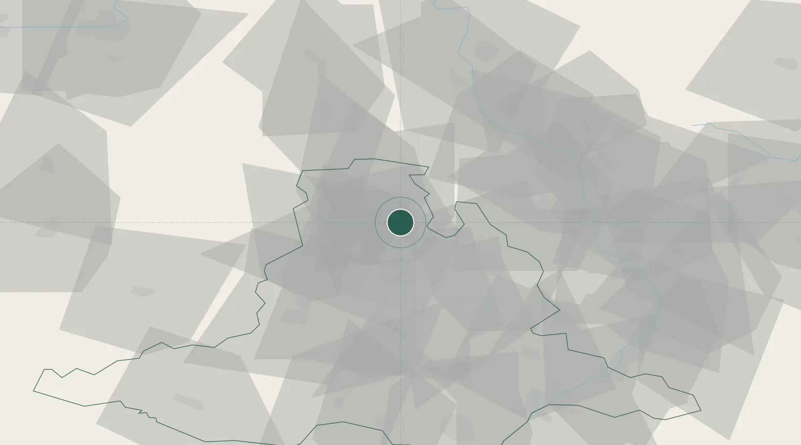
Hub Profile
Place type
Populated place
Region
South Moravian
Population
466
Time zone
Europe/Prague
Elevation
611 m
Location
Nearby Logistics Neighbours
Cities
- 1Boskovice6 km
- 2Velké Opatovice19 km
- 3Tisnov21 km
- 4Michnov23 km
- 5Olesnice Na Morave24 km
Ports
- 1Szczecin467 km
- 2Monfalcone470 km
- 3Trieste475 km
- 4Muggia480 km
- 5Police483 km
Airports
- 1Brno-Tuřany Airport31 km
- 2Přerov Air Base51 km
- 3Náměšť Air Base51 km
- 4Kunovice Airport70 km
- 5Pardubice Airport95 km
Trade Zones
DatabookThe Record of Consolidated Knowledge
Czechia beyond logistics?