Transport Functions
Multimodal
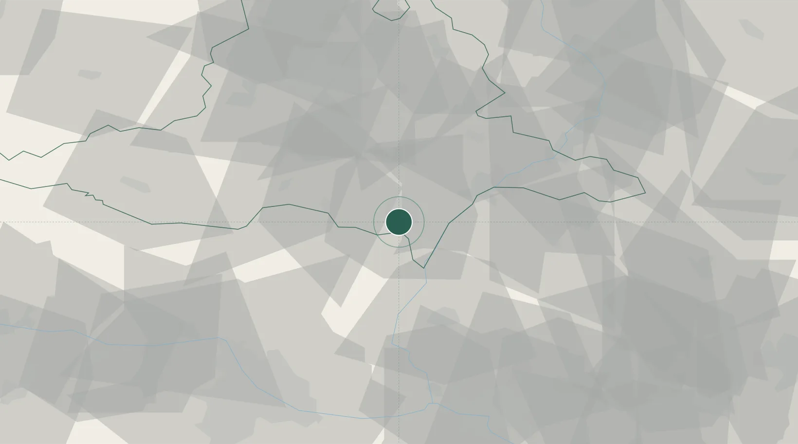
Hub Profile
Place type
Populated place
Region
South Moravian
Time zone
Europe/Prague
Elevation
158 m
Location
Nearby Logistics Neighbours
Cities
- 1Ladná6 km
- 2Bernhardsthal7 km
- 3Moravsky Zizkov8 km
- 4Hrusky/Breclav9 km
- 5Tvrdonice10 km
Ports
- 1Monfalcone414 km
- 2Trieste417 km
- 3Muggia421 km
- 4Rijeka Luka422 km
- 5Bakar422 km
Airports
- 1Malacky/Kuchyňa Air Base43 km
- 2Brno-Tuřany Airport46 km
- 3Kunovice Airport52 km
- 4M. R. Štefánik Airport69 km
- 5Náměšť Air Base71 km
Trade Zones
DatabookThe Record of Consolidated Knowledge
Czechia beyond logistics?