Transport Functions
Multimodal
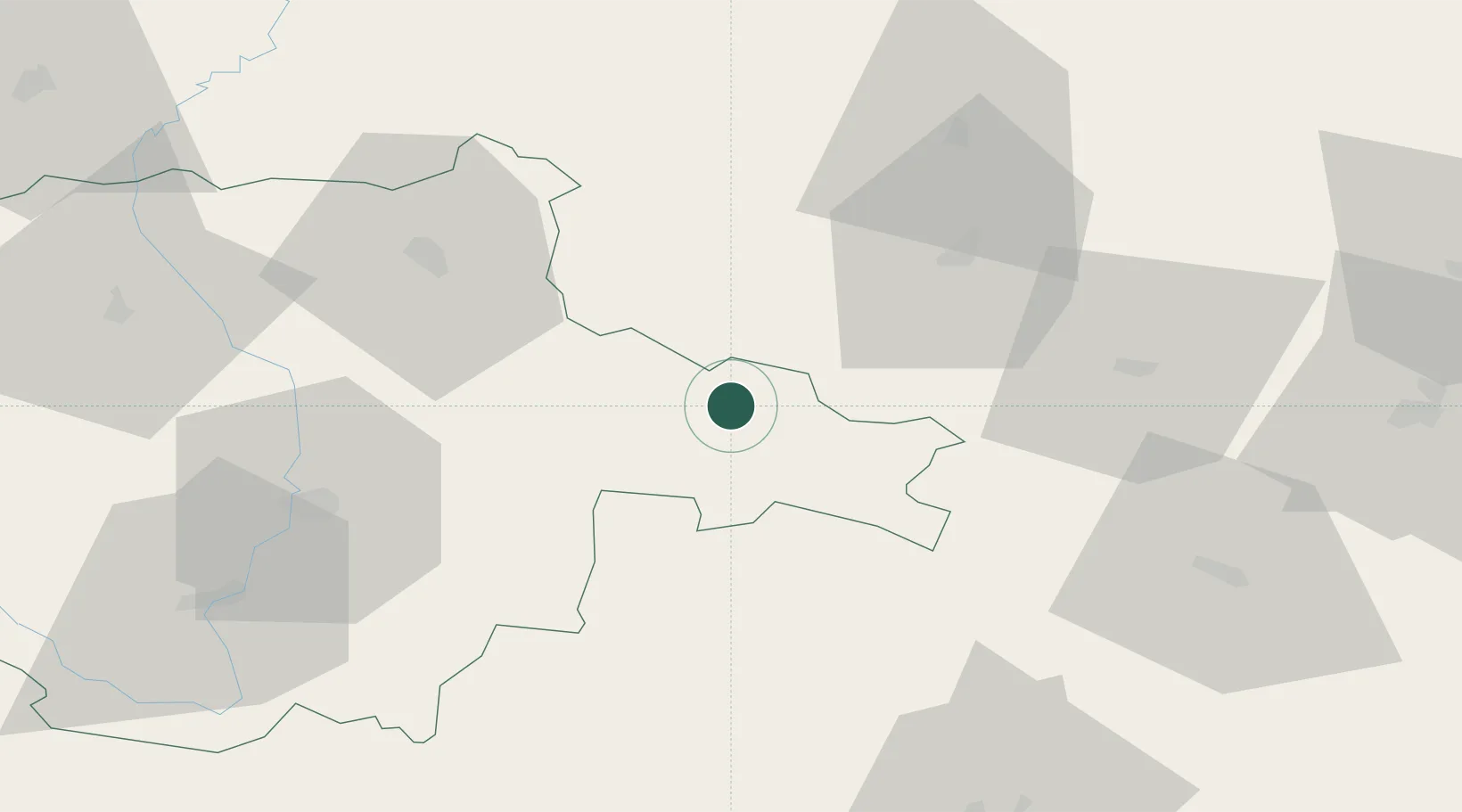
Hub Profile
Place type
Populated place
Region
Jihočeský kraj
Population
1,399
Time zone
Europe/Prague
Elevation
535 m
Location
Nearby Logistics Neighbours
Cities
- 1Dolni Pena14 km
- 2Trest25 km
- 3Olsany26 km
- 4Jemnice30 km
- 5Trebon34 km
Ports
- 1Monfalcone394 km
- 2Trieste404 km
- 3Nogaro407 km
- 4Muggia409 km
- 5Grado410 km
Airports
- 1České Budějovice South Bohemian Airport61 km
- 2Náměšť Air Base67 km
- 3Čáslav Air Base89 km
- 4Pardubice Airport104 km
- 5Brno-Tuřany Airport109 km
Trade Zones
DatabookThe Record of Consolidated Knowledge
Czechia beyond logistics?