Transport Functions
Multimodal
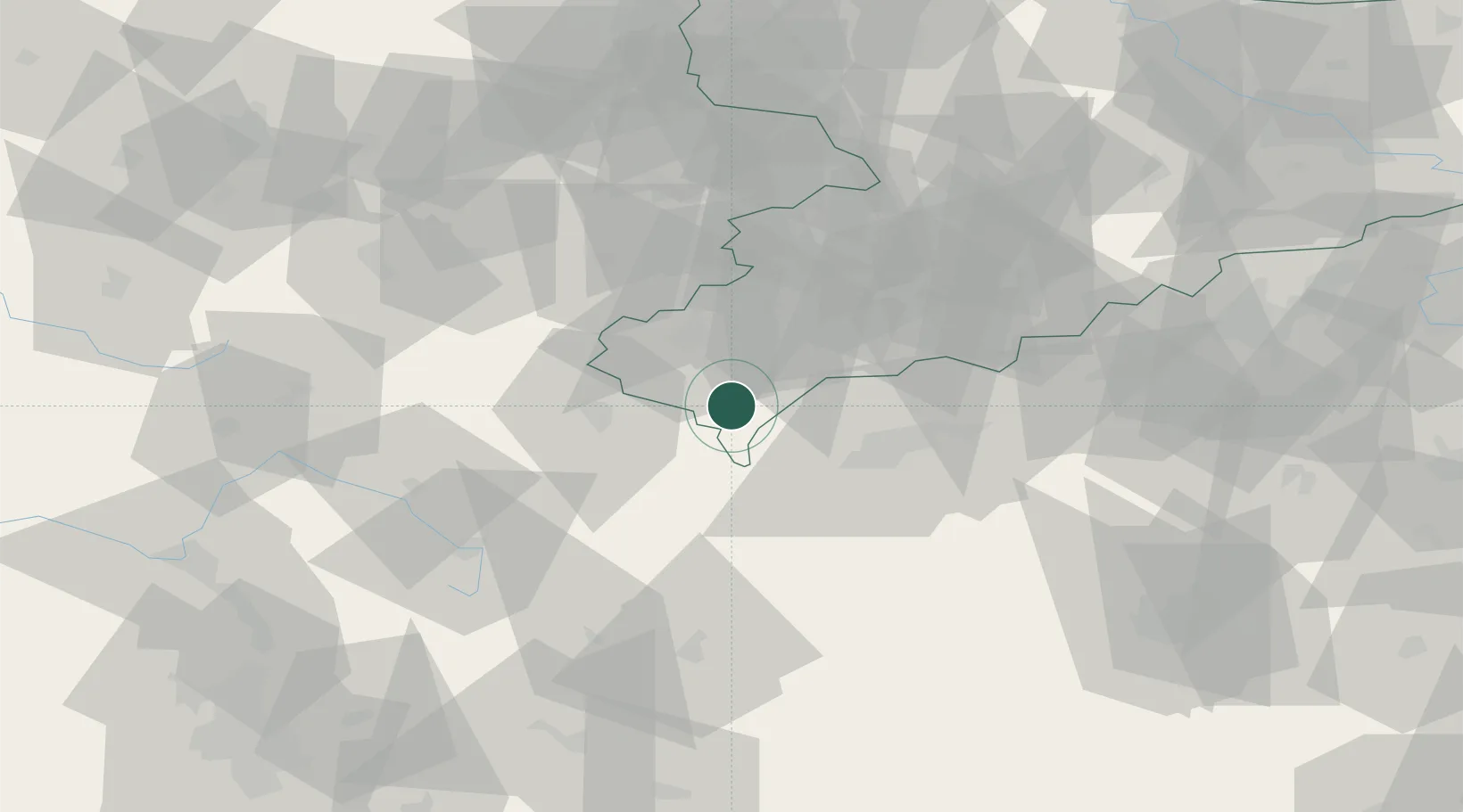
Hub Profile
Place type
Populated place
Region
Saxony
Population
5,806
Time zone
Europe/Berlin
Elevation
443 m
Location
Nearby Logistics Neighbours
Cities
- 1Gattendorf18 km
- 2Kraslice18 km
- 3Skalná18 km
- 4Rehau18 km
- 5Polna U Jihlavy19 km
Airports
- 1Hof-Plauen Airport30 km
- 2Karlovy Vary Airport48 km
- 3Bayreuth Airport58 km
- 4Grafenwöhr Army Air Field73 km
- 5Leipzig–Altenburg Airport76 km
Trade Zones
DatabookThe Record of Consolidated Knowledge
Germany beyond logistics?