UN/LOCODE hub · Czechia
CZSEB

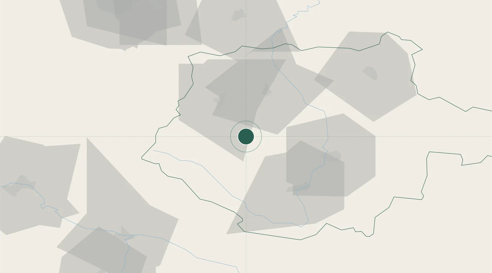
Strunkovice nad Blanicí

49.0833°, 14.0500°
1,230
Population
1
Transport functions

Transport Functions

Multimodal
UN/LOCODE

Hub Profile

Place type
Populated place
GeoNames
Region
Jihočeský kraj
GeoNames
Population
1,230
GeoNames
Time zone
Europe/Prague
GeoNames
Elevation
461 m
GeoNames

Location

Location of CZSEB
Natural Earth 10m (public domain) · Jihočeský kraj · CZSEB · 49.08, 14.05GoogleOSMYandex

Nearby Logistics Neighbours

Cities
  1. 1Netolice12 km
  2. 2Nisovice13 km
  3. 3Protivin18 km
  4. 4Zliv22 km
  5. 5Sedlec23 km
Nearest neighbours — logibook spatial index (haversine) over the source coordinates
Ports
  1. 1Monfalcone369 km
  2. 2Nogaro376 km
  3. 3Grado381 km
  4. 4Trieste382 km
  5. 5Muggia388 km
Nearest neighbours — logibook spatial index (haversine) over the source coordinates
Airports
  1. 1České Budějovice South Bohemian Airport31 km
  2. 2Plzeň-Líně Airport87 km
  3. 3Linz-Hörsching Airport95 km
  4. 4Václav Havel Airport Prague114 km
  5. 5Prague–Kbely Air Base121 km
Nearest neighbours — logibook spatial index (haversine) over the source coordinates
Trade Zones
  1. 1Freeport of Deggendorf88 km
  2. 2Světlá nad Sázavou Municipal Industrial Zone118 km
  3. 3Industrial Zone Kutna Hora130 km
  4. 4Podbořany Industrial Zone136 km
  5. 5Kolín - Ovčáry Industrial Zone139 km
Nearest neighbours — logibook spatial index (haversine) over the source coordinates
DatabookThe Record of Consolidated Knowledge
Czechia beyond logistics?
Browse databook

All Sources

LocationsUN/LOCODE
UN/LOCODE — free
LocationsGeoNames
CC BY 4.0
Portsthe NGA World Port Index
Public domain (US gov)
AirportsOurAirports
Public domain
Trade Zonesthe World Bank SEZ database
CC BY 4.0
Trade ZonesOpen Zone Map
CC BY
← Czechia locations