Transport Functions
Multimodal
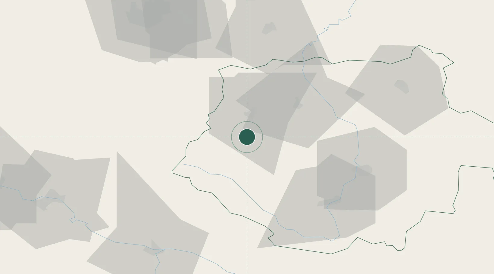
Hub Profile
Place type
Populated place
Region
Jihočeský kraj
Population
208
Time zone
Europe/Prague
Elevation
458 m
Location
Nearby Logistics Neighbours
Cities
- 1Vacov12 km
- 2Strunkovice nad Blanicí13 km
- 3Horazdovice24 km
- 4Protivin24 km
- 5Sedlice u Blatne24 km
Ports
- 1Monfalcone375 km
- 2Nogaro381 km
- 3Grado387 km
- 4Trieste389 km
- 5Muggia395 km
Airports
- 1České Budějovice South Bohemian Airport45 km
- 2Plzeň-Líně Airport74 km
- 3Linz-Hörsching Airport104 km
- 4Václav Havel Airport Prague109 km
- 5Prague–Kbely Air Base118 km
Trade Zones
DatabookThe Record of Consolidated Knowledge
Czechia beyond logistics?