UN/LOCODE hub · Czechia
CZJZB

Zbysov

49.1500°, 16.3333°
3,890
Population
1
Transport functions

Transport Functions

Multimodal
UN/LOCODE

Hub Profile

Place type
Populated place
GeoNames
Region
South Moravian
GeoNames
Population
3,890
GeoNames
Time zone
Europe/Prague
GeoNames
Elevation
351 m
GeoNames

Location

Location of CZJZB
Natural Earth 10m (public domain) · South Moravian · CZJZB · 49.15, 16.33GoogleOSMYandex

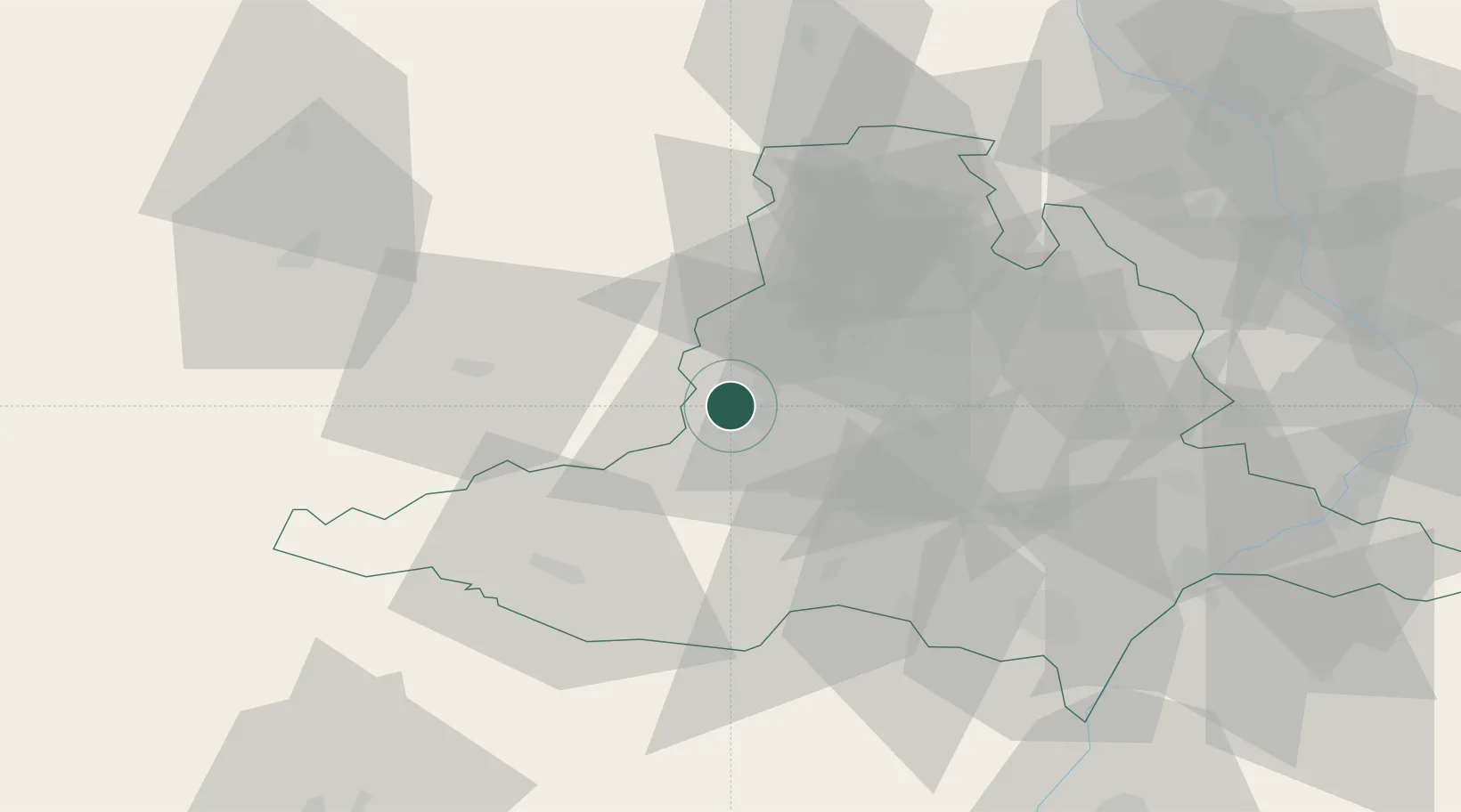
Nearby Logistics Neighbours

Cities
  1. 1Rosice5 km
  2. 2Zastávka6 km
  3. 3Rapotice6 km
  4. 4Strelice12 km
  5. 5Námest nad Oslavou14 km
Nearest neighbours — logibook spatial index (haversine) over the source coordinates
Ports
  1. 1Monfalcone429 km
  2. 2Trieste435 km
  3. 3Muggia440 km
  4. 4Koper446 km
  5. 5Nogaro446 km
Nearest neighbours — logibook spatial index (haversine) over the source coordinates
Airports
  1. 1Náměšť Air Base15 km
  2. 2Brno-Tuřany Airport26 km
  3. 3Kunovice Airport82 km
  4. 4Přerov Air Base84 km
  5. 5Malacky/Kuchyňa Air Base101 km
Nearest neighbours — logibook spatial index (haversine) over the source coordinates
Trade Zones
  1. 1Černovická Terasa Industrial Zone25 km
  2. 2Veselí nad Moravou Industrial Zone79 km
  3. 3Světlá nad Sázavou Municipal Industrial Zone88 km
  4. 4Holešov Industrial Zone90 km
  5. 5Pardubice City Industrial Zone104 km
Nearest neighbours — logibook spatial index (haversine) over the source coordinates
DatabookThe Record of Consolidated Knowledge
Czechia beyond logistics?
Browse databook

All Sources

LocationsUN/LOCODE
UN/LOCODE — free
LocationsGeoNames
CC BY 4.0
Portsthe NGA World Port Index
Public domain (US gov)
AirportsOurAirports
Public domain
Trade Zonesthe World Bank SEZ database
CC BY 4.0
Trade ZonesOpen Zone Map
CC BY
← Czechia locations