Transport Functions
Multimodal
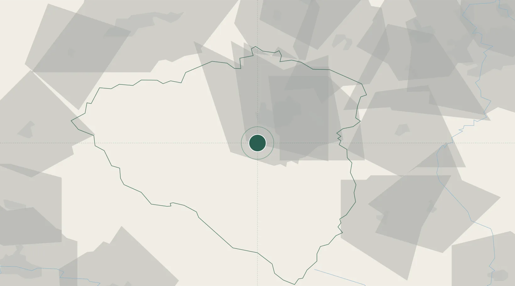
Hub Profile
Region
PL
Location
Nearby Logistics Neighbours
Ports
- 1Monfalcone429 km
- 2Szczecin430 km
- 3Nogaro431 km
- 4Grado438 km
- 5Trieste444 km
Airports
- 1Plzeň-Líně Airport5 km
- 2Karlovy Vary Airport69 km
- 3Václav Havel Airport Prague86 km
- 4Grafenwöhr Army Air Field98 km
- 5Vodochody Airport102 km
Trade Zones
DatabookThe Record of Consolidated Knowledge
Czechia beyond logistics?