Transport Functions
Rail
Road
Hub Profile
Place type
Urban district
Region
Plzeň Region
Time zone
Europe/Prague
Elevation
361 m
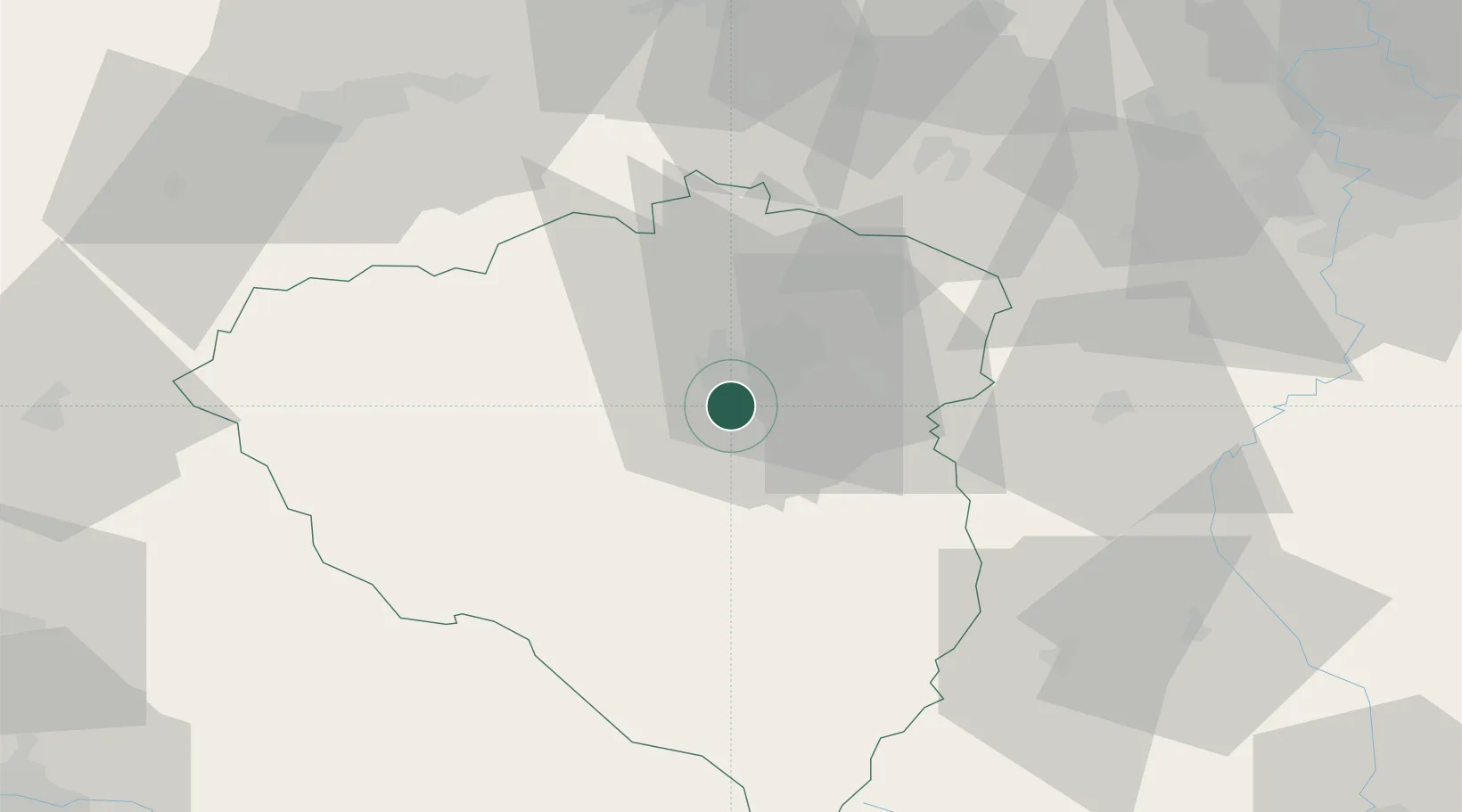
Location
Nearby Logistics Neighbours
Cities
- 1Nova Hospoda4 km
- 2Vejprnice6 km
- 3Dobrany7 km
- 4Chlumcany u Prestic8 km
- 5Zbuch10 km
Ports
- 1Szczecin422 km
- 2Monfalcone436 km
- 3Police438 km
- 4Nogaro438 km
- 5Grado445 km
Airports
- 1Plzeň-Líně Airport6 km
- 2Karlovy Vary Airport64 km
- 3Václav Havel Airport Prague79 km
- 4Vodochody Airport94 km
- 5Prague–Kbely Air Base98 km
Trade Zones
DatabookThe Record of Consolidated Knowledge
Czechia beyond logistics?