Transport Functions
Multimodal
Hub Profile
Place type
Populated place
Region
Olomoucký
Population
1,153
Time zone
Europe/Prague
Elevation
208 m
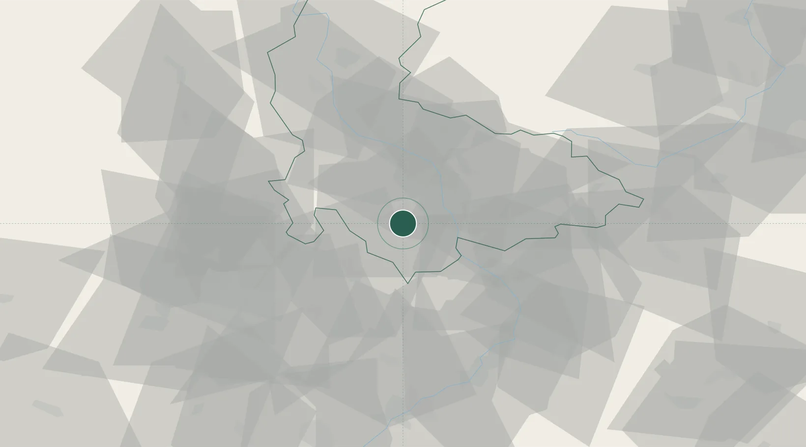
Location
Nearby Logistics Neighbours
Cities
- 1Kralice na Hané2 km
- 2Vysovice4 km
- 3Smrzice7 km
- 4Klenovice na Hane7 km
- 5Bilovice10 km
Ports
- 1Szczecin476 km
- 2Monfalcone489 km
- 3Police491 km
- 4Trieste494 km
- 5Muggia498 km
Airports
- 1Přerov Air Base19 km
- 2Brno-Tuřany Airport47 km
- 3Kunovice Airport51 km
- 4Leoš Janáček Airport Ostrava75 km
- 5Náměšť Air Base81 km
Trade Zones
DatabookThe Record of Consolidated Knowledge
Czechia beyond logistics?