UN/LOCODE hub · Czechia
CZRNH
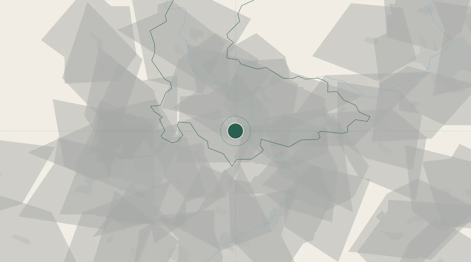
Kralice na Hané
49.4500°, 17.1833°
1,427
Population
2
Transport functions
Transport Functions
Port
Road
Hub Profile
Place type
Populated place
Region
Olomoucký
Population
1,427
Time zone
Europe/Prague
Elevation
213 m
Location
Nearby Logistics Neighbours
Cities
- 1Bedihost2 km
- 2Vysovice5 km
- 3Klenovice na Hane6 km
- 4Smrzice8 km
- 5Lobodice9 km
Ports
- 1Szczecin477 km
- 2Monfalcone490 km
- 3Police492 km
- 4Trieste495 km
- 5Muggia499 km
Airports
- 1Přerov Air Base16 km
- 2Brno-Tuřany Airport49 km
- 3Kunovice Airport50 km
- 4Leoš Janáček Airport Ostrava72 km
- 5Náměšť Air Base83 km
Trade Zones
DatabookThe Record of Consolidated Knowledge
Czechia beyond logistics?