UN/LOCODE hub · Czechia
CZKNH
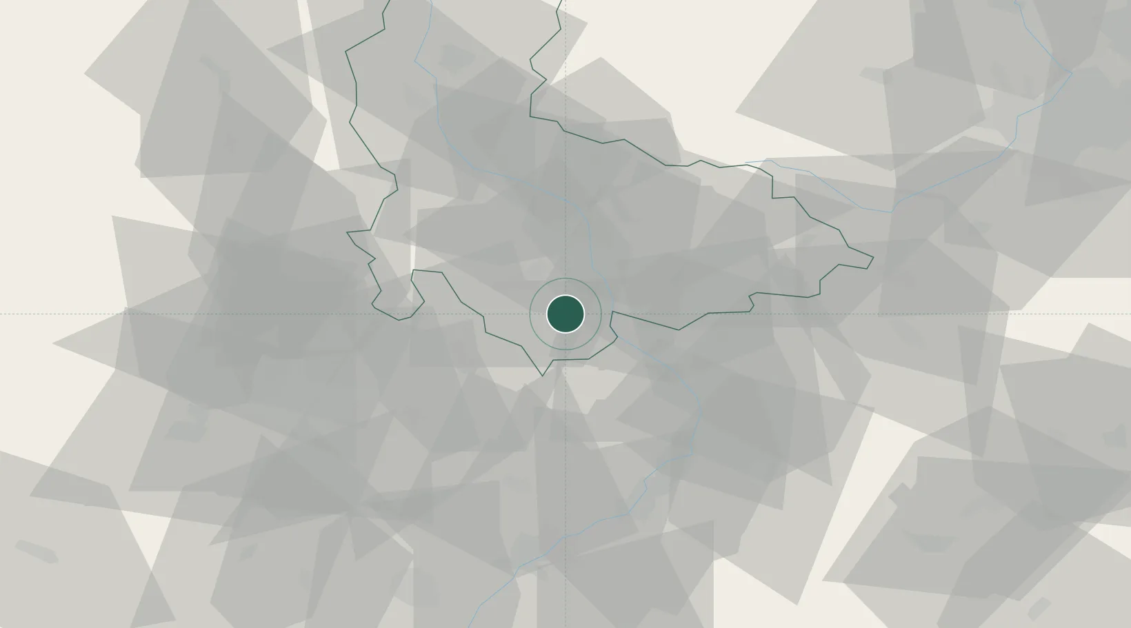
Klenovice na Hane
49.4000°, 17.2167°
823
Population
1
Transport functions
Transport Functions
Multimodal
Hub Profile
Place type
Populated place
Region
Olomoucký
Population
823
Time zone
Europe/Prague
Elevation
225 m
Location
Nearby Logistics Neighbours
Cities
- 1Lobodice5 km
- 2Kralice na Hané6 km
- 3Vysovice6 km
- 4Bedihost7 km
- 5Kostelec9 km
Ports
- 1Szczecin483 km
- 2Monfalcone487 km
- 3Trieste492 km
- 4Muggia496 km
- 5Police498 km
Airports
- 1Přerov Air Base14 km
- 2Kunovice Airport44 km
- 3Brno-Tuřany Airport47 km
- 4Leoš Janáček Airport Ostrava73 km
- 5Náměšť Air Base83 km
Trade Zones
DatabookThe Record of Consolidated Knowledge
Czechia beyond logistics?