UN/LOCODE hub · Czechia
CZVCE
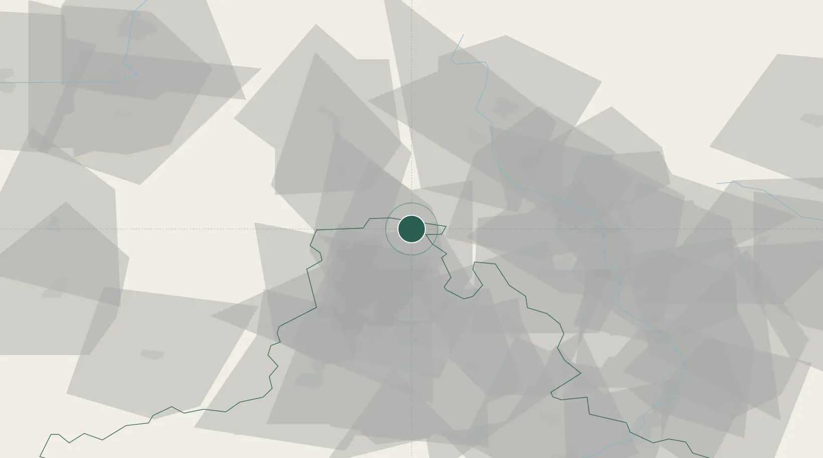
Velké Opatovice
49.6000°, 16.6833°
3,457
Population
2
Transport functions
Transport Functions
Rail
Road
Hub Profile
Place type
Populated place
Region
South Moravian
Population
3,457
Time zone
Europe/Prague
Elevation
379 m
Location
Nearby Logistics Neighbours
Ports
- 1Szczecin449 km
- 2Police465 km
- 3Monfalcone485 km
- 4Trieste491 km
- 5Muggia496 km
Airports
- 1Brno-Tuřany Airport50 km
- 2Přerov Air Base56 km
- 3Náměšť Air Base63 km
- 4Pardubice Airport82 km
- 5Kunovice Airport84 km
Trade Zones
DatabookThe Record of Consolidated Knowledge
Czechia beyond logistics?