Transport Functions
Port
Rail
Road
Multimodal
Hub Profile
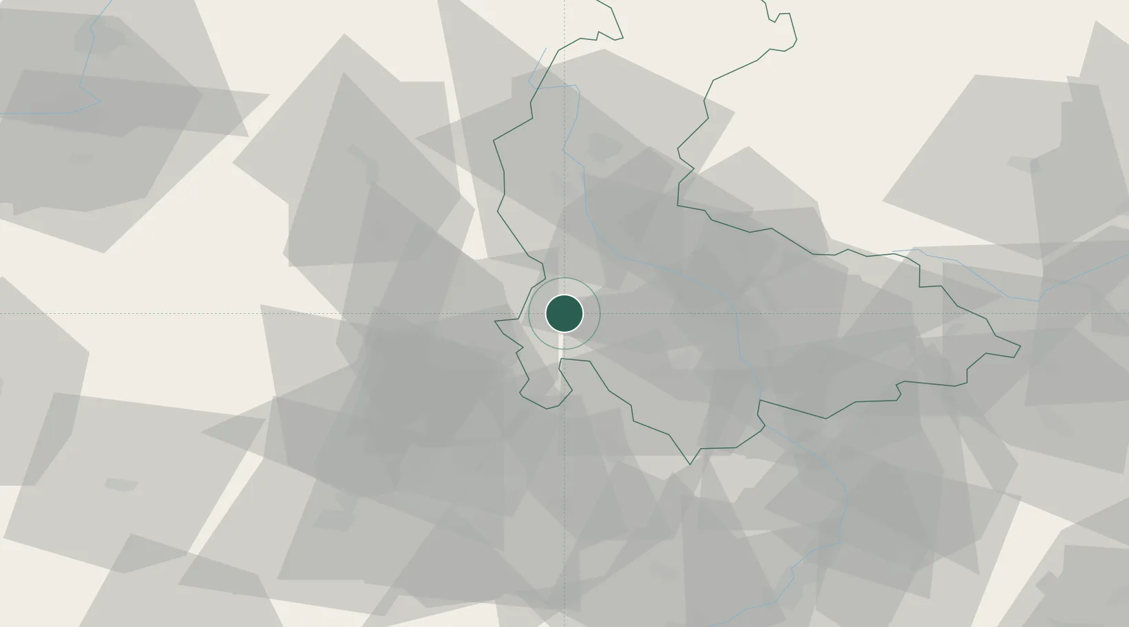
Place type
Populated place
Region
Olomoucký
Time zone
Europe/Prague
Elevation
517 m
Location
Nearby Logistics Neighbours
Cities
- 1Pencin10 km
- 2Chornice12 km
- 3Hranicky14 km
- 4Velké Opatovice14 km
- 5Bilovice15 km
Ports
- 1Szczecin454 km
- 2Police469 km
- 3Monfalcone492 km
- 4Trieste498 km
- 5Muggia502 km
Airports
- 1Přerov Air Base42 km
- 2Brno-Tuřany Airport52 km
- 3Náměšť Air Base73 km
- 4Kunovice Airport75 km
- 5Leoš Janáček Airport Ostrava89 km
Trade Zones
DatabookThe Record of Consolidated Knowledge
Czechia beyond logistics?