Transport Functions
Multimodal
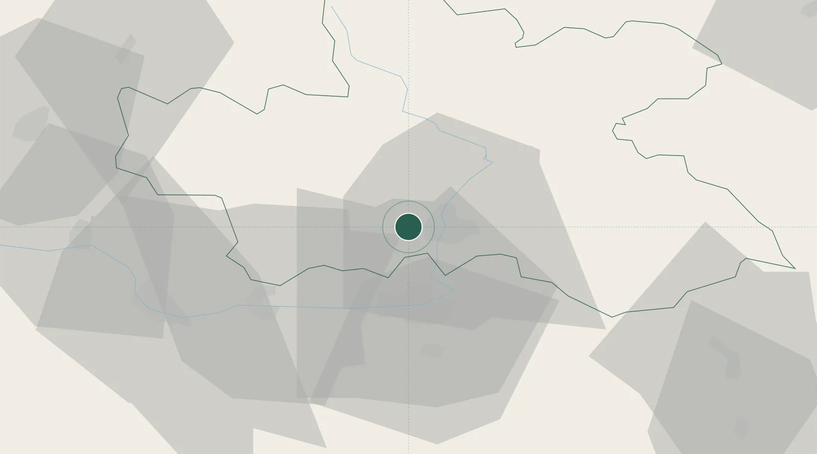
Hub Profile
Place type
Populated place
Region
Královéhradecký kraj
Population
1,625
Time zone
Europe/Prague
Elevation
257 m
Location
Nearby Logistics Neighbours
Cities
- 1Predmerice nad Labem6 km
- 2Hradec Králové7 km
- 3Lochenice7 km
- 4Nechanice9 km
- 5Osice9 km
Ports
- 1Szczecin365 km
- 2Police381 km
- 3Swinoujscie424 km
- 4Kolobrzeg445 km
- 5Wolgast447 km
Airports
- 1Pardubice Airport22 km
- 2Čáslav Air Base41 km
- 3Kostomlaty Airstrip59 km
- 4Prague–Kbely Air Base87 km
- 5Vodochody Airport96 km
Trade Zones
DatabookThe Record of Consolidated Knowledge
Czechia beyond logistics?