UN/LOCODE hub · Czechia
CZPNL

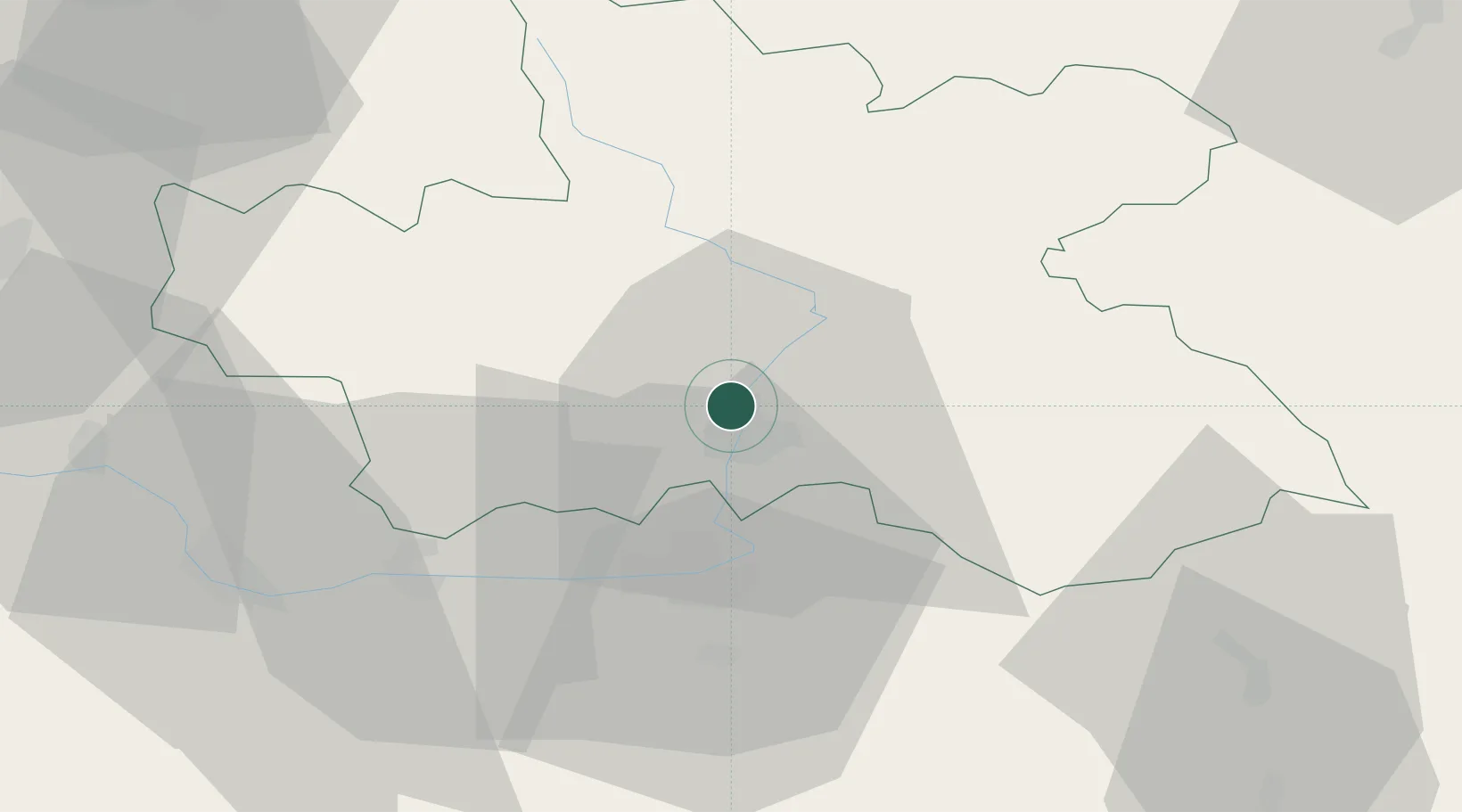
Predmerice nad Labem

50.2500°, 15.8167°
1,638
Population
2
Transport functions

Transport Functions

Rail
Road
UN/LOCODE

Hub Profile

Place type
Populated place
GeoNames
Region
Královéhradecký kraj
GeoNames
Population
1,638
GeoNames
Time zone
Europe/Prague
GeoNames
Elevation
242 m
GeoNames

Location

Location of CZPNL
Natural Earth 10m (public domain) · Královéhradecký kraj · CZPNL · 50.25, 15.82GoogleOSMYandex

Nearby Logistics Neighbours

Cities
  1. 1Lochenice2 km
  2. 2Hradec Králové4 km
  3. 3Stezery6 km
  4. 4Nechanice13 km
  5. 5Jaromer13 km
Nearest neighbours — logibook spatial index (haversine) over the source coordinates
Ports
  1. 1Szczecin363 km
  2. 2Police379 km
  3. 3Swinoujscie421 km
  4. 4Kolobrzeg441 km
  5. 5Wolgast445 km
Nearest neighbours — logibook spatial index (haversine) over the source coordinates
Airports
  1. 1Pardubice Airport27 km
  2. 2Čáslav Air Base46 km
  3. 3Kostomlaty Airstrip64 km
  4. 4Prague–Kbely Air Base92 km
  5. 5Vodochody Airport101 km
Nearest neighbours — logibook spatial index (haversine) over the source coordinates
Trade Zones
  1. 1Pardubice City Industrial Zone25 km
  2. 2Kolín - Ovčáry Industrial Zone47 km
  3. 3Industrial Zone Kutna Hora52 km
  4. 4Kamienna Góra61 km
  5. 5Světlá nad Sázavou Municipal Industrial Zone71 km
Nearest neighbours — logibook spatial index (haversine) over the source coordinates
DatabookThe Record of Consolidated Knowledge
Czechia beyond logistics?
Browse databook

All Sources

LocationsUN/LOCODE
UN/LOCODE — free
LocationsGeoNames
CC BY 4.0
Portsthe NGA World Port Index
Public domain (US gov)
AirportsOurAirports
Public domain
Trade Zonesthe World Bank SEZ database
CC BY 4.0
Trade ZonesOpen Zone Map
CC BY
← Czechia locations