Transport Functions
Port
Road
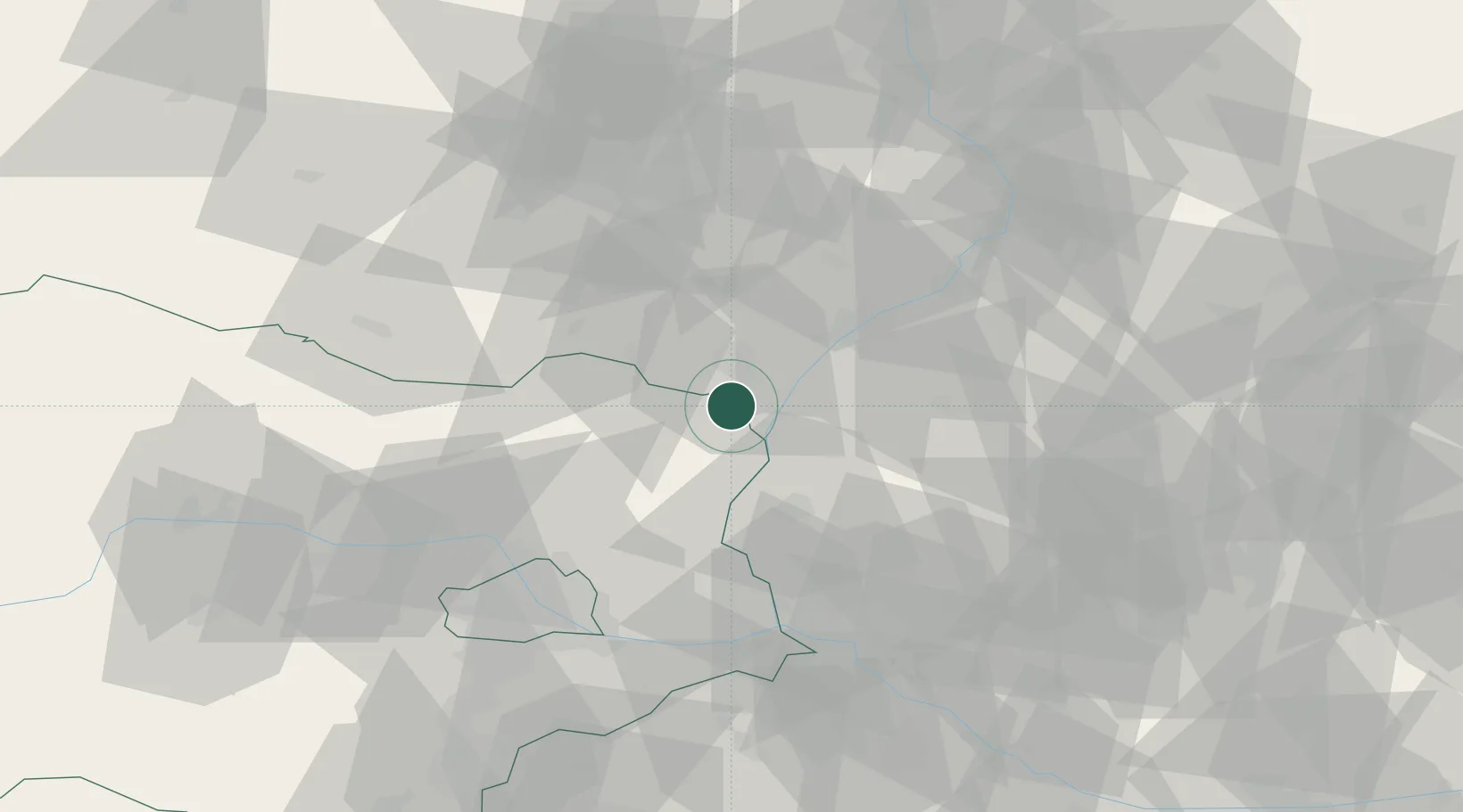
Hub Profile
Place type
District seat
Region
Lower Austria
Population
830
Time zone
Europe/Vienna
Elevation
167 m
Location
Nearby Logistics Neighbours
Cities
- 1Postorna7 km
- 2Dobermannsdorf10 km
- 3Kúty11 km
- 4Sankt Ulrich12 km
- 5Ladná13 km
Ports
- 1Monfalcone408 km
- 2Trieste411 km
- 3Muggia415 km
- 4Rijeka Luka416 km
- 5Bakar416 km
Airports
- 1Malacky/Kuchyňa Air Base36 km
- 2Brno-Tuřany Airport54 km
- 3Kunovice Airport57 km
- 4M. R. Štefánik Airport63 km
- 5Vienna International Airport67 km
Trade Zones
DatabookThe Record of Consolidated Knowledge
Austria beyond logistics?