Transport Functions
Port
Rail
Road
Hub Profile
Region
PL
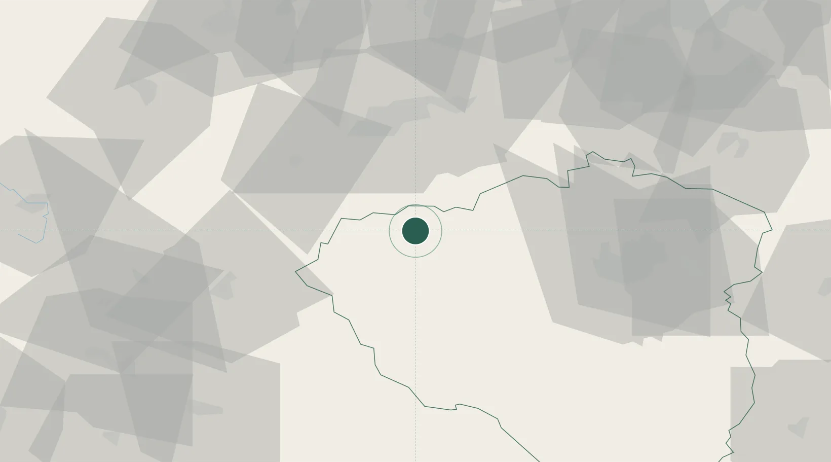
Location
Nearby Logistics Neighbours
Cities
- 1Planá1 km
- 2Chodová Planá2 km
- 3Mariánské Lázne12 km
- 4Stríbro21 km
- 5Kyselka22 km
Airports
- 1Karlovy Vary Airport39 km
- 2Plzeň-Líně Airport43 km
- 3Grafenwöhr Army Air Field61 km
- 4Hof-Plauen Airport79 km
- 5Bayreuth Airport81 km
Trade Zones
DatabookThe Record of Consolidated Knowledge
Czechia beyond logistics?