Transport Functions
Rail
Road
Hub Profile
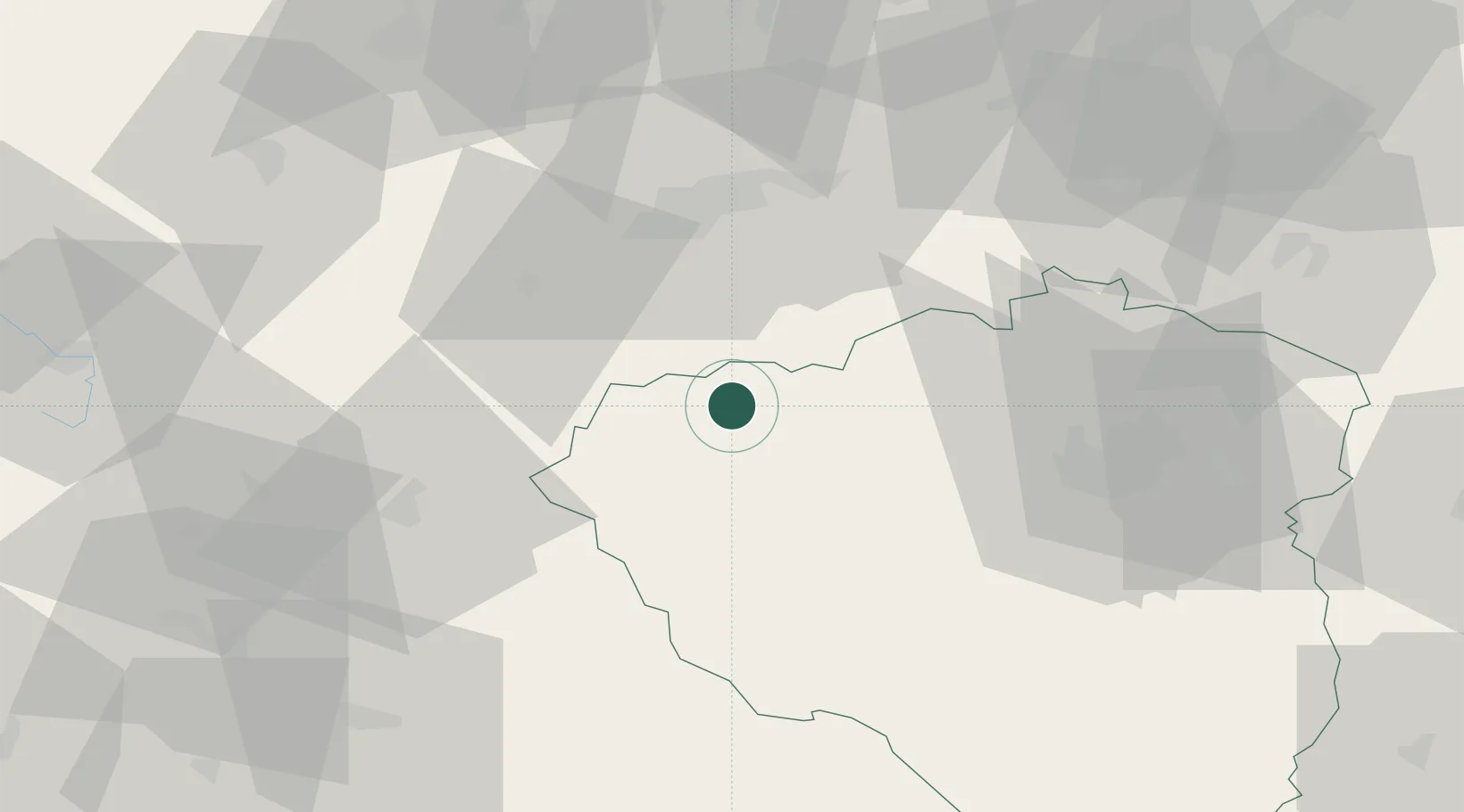
Place type
Populated place
Region
Plzeň Region
Population
5,450
Time zone
Europe/Prague
Elevation
514 m
Location
Nearby Logistics Neighbours
Cities
- 1Plana u Marianskych Lazni1 km
- 2Chodová Planá2 km
- 3Mariánské Lázne11 km
- 4Stríbro22 km
- 5Barnau22 km
Airports
- 1Karlovy Vary Airport40 km
- 2Plzeň-Líně Airport44 km
- 3Grafenwöhr Army Air Field60 km
- 4Hof-Plauen Airport78 km
- 5Bayreuth Airport79 km
Trade Zones
DatabookThe Record of Consolidated Knowledge
Czechia beyond logistics?