Transport Functions
Port
Multimodal
Hub Profile
Place type
Locality
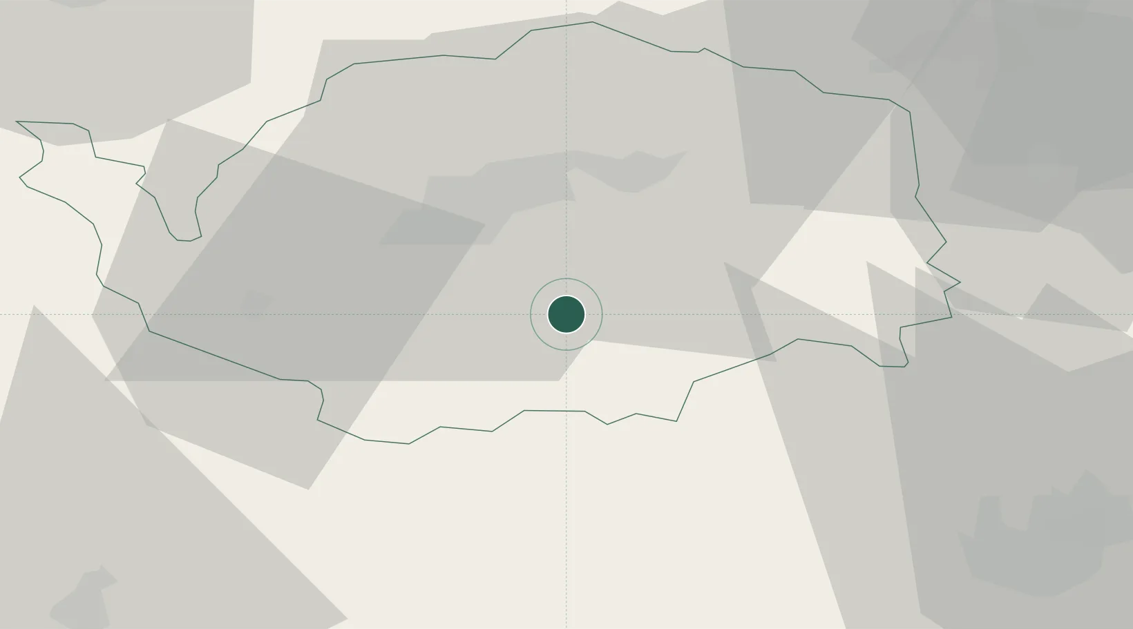
Region
Karlovarský kraj
Time zone
Europe/Prague
Elevation
730 m
Location
Nearby Logistics Neighbours
Cities
- 1Horní Slavkov9 km
- 2Mariánské Lázne13 km
- 3Dolní Rychnov14 km
- 4Touzim14 km
- 5Mirova15 km
Airports
- 1Karlovy Vary Airport18 km
- 2Plzeň-Líně Airport56 km
- 3Hof-Plauen Airport71 km
- 4Grafenwöhr Army Air Field73 km
- 5Bayreuth Airport82 km
Trade Zones
DatabookThe Record of Consolidated Knowledge
Czechia beyond logistics?