Transport Functions
Rail
Road
Hub Profile
Place type
Populated place
Region
Plzeň Region
Population
1,793
Time zone
Europe/Prague
Elevation
525 m
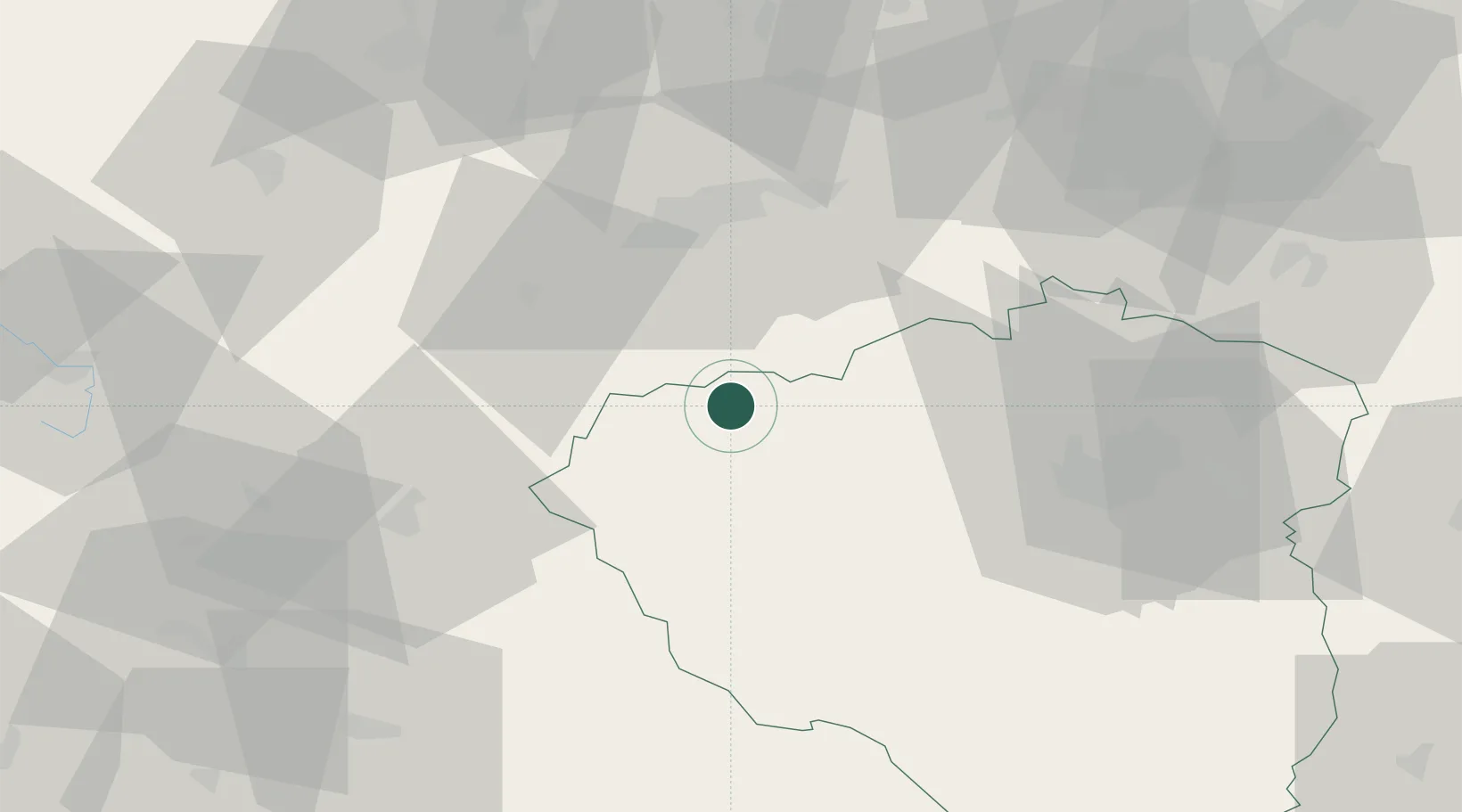
Location
Nearby Logistics Neighbours
Cities
- 1Planá2 km
- 2Plana u Marianskych Lazni2 km
- 3Mariánské Lázne10 km
- 4Kyselka21 km
- 5Barnau23 km
Airports
- 1Karlovy Vary Airport38 km
- 2Plzeň-Líně Airport45 km
- 3Grafenwöhr Army Air Field61 km
- 4Hof-Plauen Airport77 km
- 5Bayreuth Airport79 km
Trade Zones
DatabookThe Record of Consolidated Knowledge
Czechia beyond logistics?