Transport Functions
Rail
Road
Hub Profile
Place type
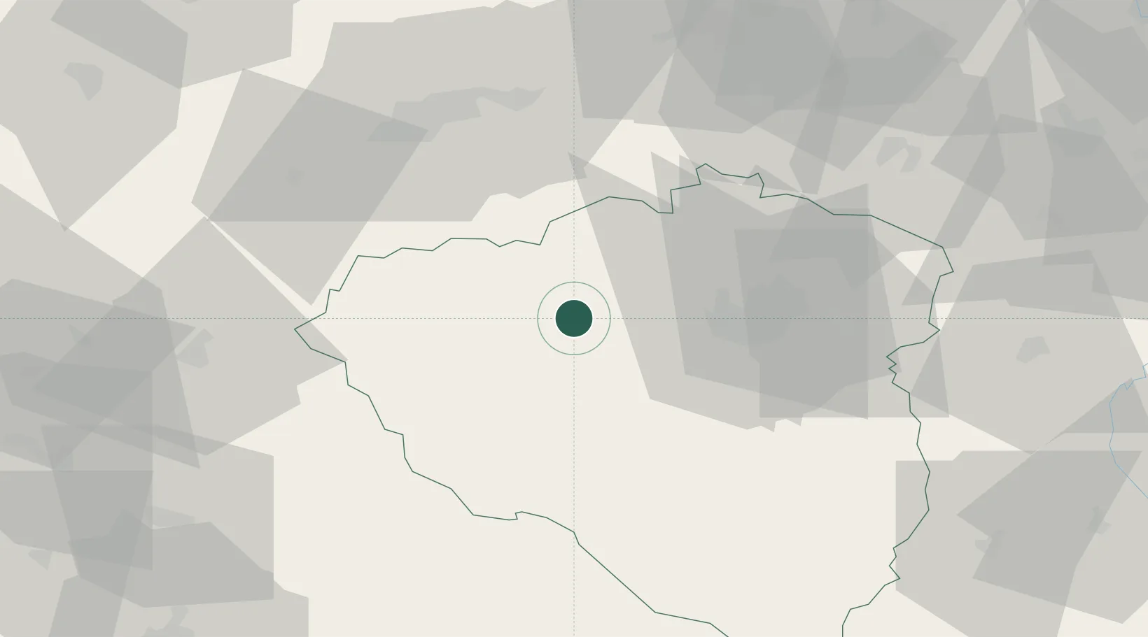
Populated place
Region
Plzeň Region
Population
7,689
Time zone
Europe/Prague
Elevation
402 m
Location
Nearby Logistics Neighbours
Cities
- 1Hnevice8 km
- 2Hermanova Hut10 km
- 3Nýrany15 km
- 4Plzen16 km
- 5Zbuch18 km
Ports
- 1Szczecin420 km
- 2Police436 km
- 3Monfalcone445 km
- 4Nogaro446 km
- 5Grado453 km
Airports
- 1Plzeň-Líně Airport22 km
- 2Karlovy Vary Airport49 km
- 3Grafenwöhr Army Air Field77 km
- 4Václav Havel Airport Prague98 km
- 5Hof-Plauen Airport100 km
Trade Zones
DatabookThe Record of Consolidated Knowledge
Czechia beyond logistics?