Transport Functions
Port
Hub Profile
Place type
Populated place
Region
Pardubický
Population
3,180
Time zone
Europe/Prague
Elevation
526 m
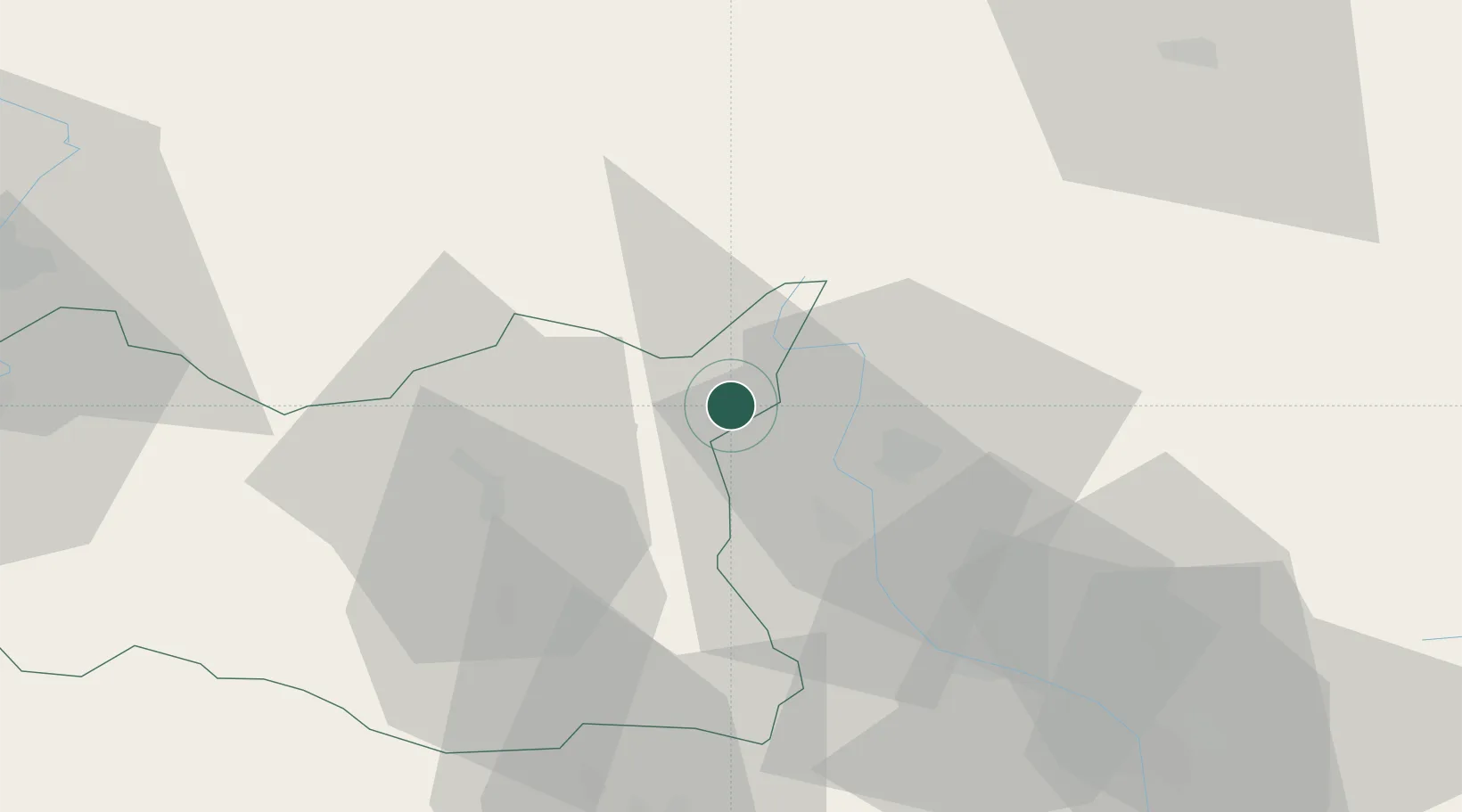
Location
Nearby Logistics Neighbours
Cities
- 1Jablonné nad Orlicí11 km
- 2Vermerovice14 km
- 3Miedzylesie14 km
- 4Lanskroun16 km
- 5Zábreh19 km
Ports
- 1Szczecin406 km
- 2Police421 km
- 3Swinoujscie464 km
- 4Kolobrzeg472 km
- 5Darlowo490 km
Airports
- 1Pardubice Airport72 km
- 2Přerov Air Base82 km
- 3Brno-Tuřany Airport98 km
- 4Čáslav Air Base98 km
- 5Leoš Janáček Airport Ostrava105 km
DatabookThe Record of Consolidated Knowledge
Czechia beyond logistics?