Transport Functions
Multimodal
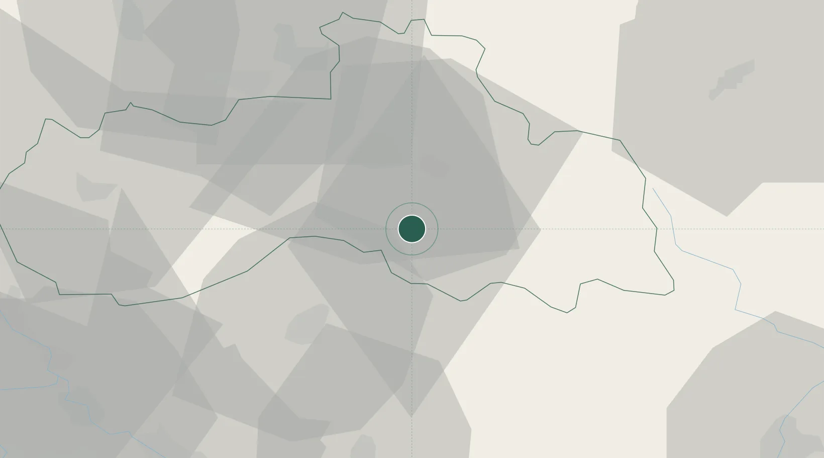
Hub Profile
Place type
Populated place
Region
Liberecký kraj
Time zone
Europe/Prague
Elevation
408 m
Location
Nearby Logistics Neighbours
Cities
- 1Hodkovice nad Mohelkou5 km
- 2Antoninuv Dul9 km
- 3Chuchelna11 km
- 4Mnichovo Hradiste14 km
- 5Drzkov15 km
Ports
- 1Szczecin314 km
- 2Police330 km
- 3Swinoujscie372 km
- 4Wolgast393 km
- 5Kolobrzeg401 km
Airports
- 1Kostomlaty Airstrip48 km
- 2Vodochody Airport69 km
- 3Prague–Kbely Air Base69 km
- 4Čáslav Air Base77 km
- 5Pardubice Airport80 km
Trade Zones
DatabookThe Record of Consolidated Knowledge
Czechia beyond logistics?