Transport Functions
Port
Rail
Road
Hub Profile
Place type
Populated place
Region
Liberecký kraj
Population
569
Time zone
Europe/Prague
Elevation
506 m
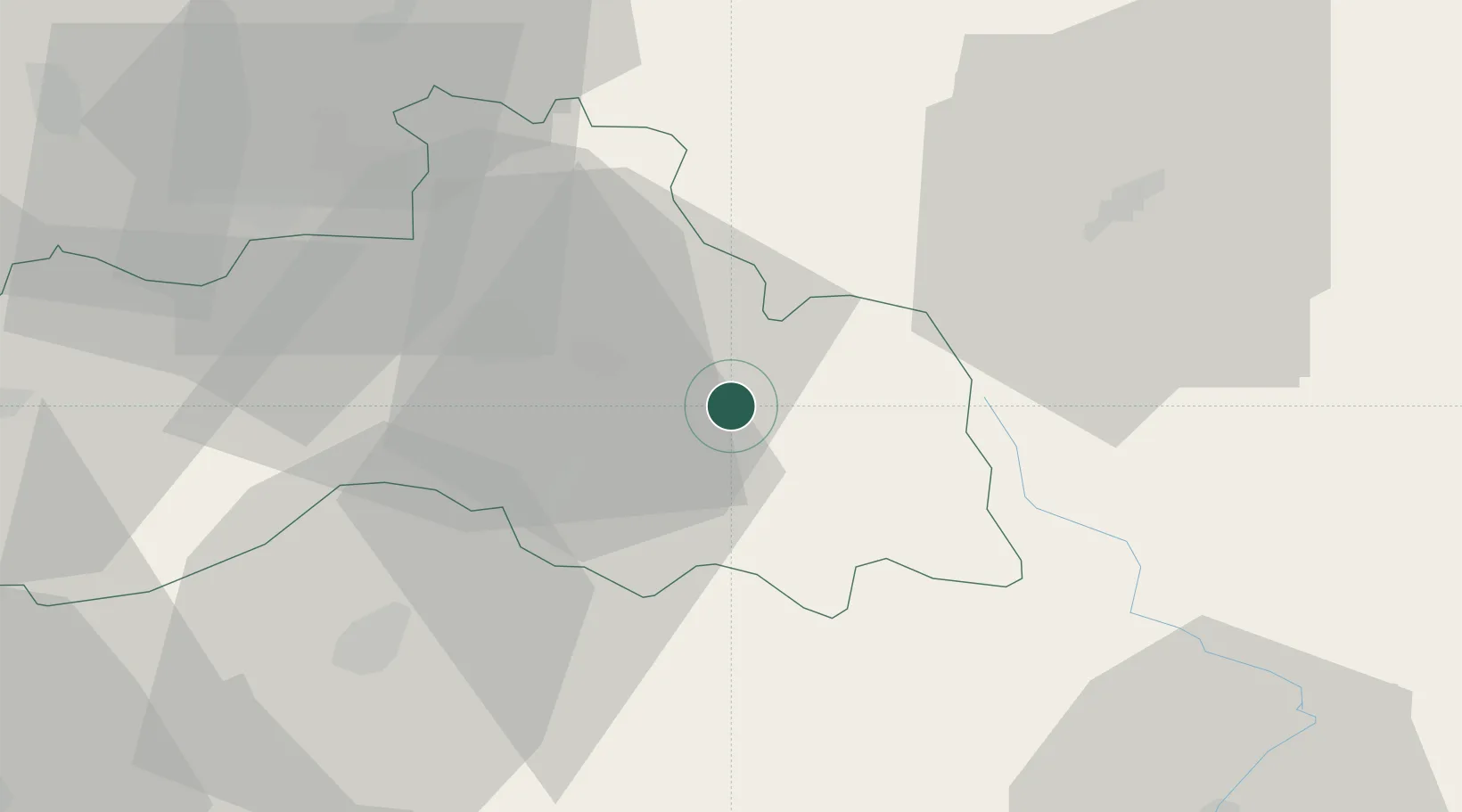
Location
Nearby Logistics Neighbours
Cities
- 1Tanvald6 km
- 2Smrzovka7 km
- 3Chuchelna10 km
- 4Ponikla10 km
- 5Antoninuv Dul12 km
Ports
- 1Szczecin308 km
- 2Police325 km
- 3Swinoujscie367 km
- 4Wolgast389 km
- 5Kolobrzeg393 km
Airports
- 1Kostomlaty Airstrip60 km
- 2Rothenburg/Görlitz Airfield80 km
- 3Pardubice Airport80 km
- 4Čáslav Air Base83 km
- 5Prague–Kbely Air Base83 km
Trade Zones
DatabookThe Record of Consolidated Knowledge
Czechia beyond logistics?