UN/LOCODE hub · Czechia
CZHOM

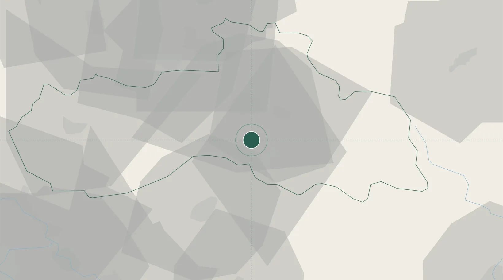
Hodkovice nad Mohelkou

50.6500°, 15.0833°
2,659
Population
2
Transport functions

Transport Functions

Rail
Road
UN/LOCODE

Hub Profile

Place type
Populated place
GeoNames
Region
Liberecký kraj
GeoNames
Population
2,659
GeoNames
Time zone
Europe/Prague
GeoNames
Elevation
378 m
GeoNames

Location

Location of CZHOM
Natural Earth 10m (public domain) · Liberecký kraj · CZHOM · 50.65, 15.08GoogleOSMYandex

Nearby Logistics Neighbours

Cities
  1. 1Odolenovice5 km
  2. 2Antoninuv Dul14 km
  3. 3Mnichovo Hradiste15 km
  4. 4Smrzovka15 km
  5. 5Chuchelna15 km
Nearest neighbours — logibook spatial index (haversine) over the source coordinates
Ports
  1. 1Szczecin310 km
  2. 2Police326 km
  3. 3Swinoujscie368 km
  4. 4Wolgast388 km
  5. 5Kolobrzeg398 km
Nearest neighbours — logibook spatial index (haversine) over the source coordinates
Airports
  1. 1Kostomlaty Airstrip50 km
  2. 2Vodochody Airport69 km
  3. 3Prague–Kbely Air Base70 km
  4. 4Rothenburg/Görlitz Airfield80 km
  5. 5Čáslav Air Base82 km
Nearest neighbours — logibook spatial index (haversine) over the source coordinates
Trade Zones
  1. 1Kolín - Ovčáry Industrial Zone65 km
  2. 2Kamienna Góra68 km
  3. 3Industrial Zone Kutna Hora81 km
  4. 4Pardubice City Industrial Zone87 km
  5. 5Wałbrzych SEZ INVEST-PARK (Wałbrzyska SSE)88 km
Nearest neighbours — logibook spatial index (haversine) over the source coordinates
DatabookThe Record of Consolidated Knowledge
Czechia beyond logistics?
Browse databook

All Sources

LocationsUN/LOCODE
UN/LOCODE — free
LocationsGeoNames
CC BY 4.0
Portsthe NGA World Port Index
Public domain (US gov)
AirportsOurAirports
Public domain
Trade Zonesthe World Bank SEZ database
CC BY 4.0
Trade ZonesOpen Zone Map
CC BY
← Czechia locations