UN/LOCODE hub · Czechia
CZMHT
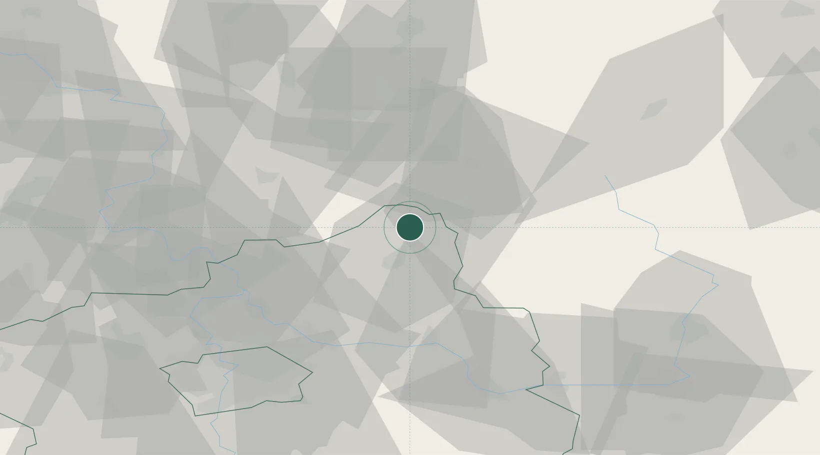
Mnichovo Hradiste
50.5333°, 14.9833°
8,368
Population
2
Transport functions
Transport Functions
Rail
Road
Hub Profile
Place type
Populated place
Region
Central Bohemia
Population
8,368
Time zone
Europe/Prague
Elevation
241 m
Location
Nearby Logistics Neighbours
Cities
- 1Klaster Hradiste nad Jizerou4 km
- 2Bakov nad Jizerou7 km
- 3Sukorady12 km
- 4Kurivody13 km
- 5Odolenovice14 km
Ports
- 1Szczecin322 km
- 2Police339 km
- 3Swinoujscie379 km
- 4Wolgast399 km
- 5Kolobrzeg411 km
Airports
- 1Kostomlaty Airstrip36 km
- 2Vodochody Airport55 km
- 3Prague–Kbely Air Base55 km
- 4Václav Havel Airport Prague70 km
- 5Čáslav Air Base72 km
Trade Zones
DatabookThe Record of Consolidated Knowledge
Czechia beyond logistics?