Transport Functions
Multimodal
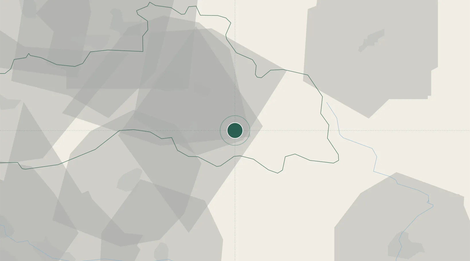
Hub Profile
Place type
Populated place
Region
Liberecký kraj
Population
906
Time zone
Europe/Prague
Elevation
387 m
Location
Nearby Logistics Neighbours
Cities
- 1Antoninuv Dul3 km
- 2Lomnice nad Popelkou10 km
- 3Drzkov10 km
- 4Konojedy10 km
- 5Libstát10 km
Ports
- 1Szczecin317 km
- 2Police334 km
- 3Swinoujscie375 km
- 4Wolgast397 km
- 5Kolobrzeg403 km
Airports
- 1Kostomlaty Airstrip50 km
- 2Pardubice Airport73 km
- 3Čáslav Air Base74 km
- 4Prague–Kbely Air Base75 km
- 5Vodochody Airport76 km
Trade Zones
DatabookThe Record of Consolidated Knowledge
Czechia beyond logistics?