Transport Functions
Multimodal
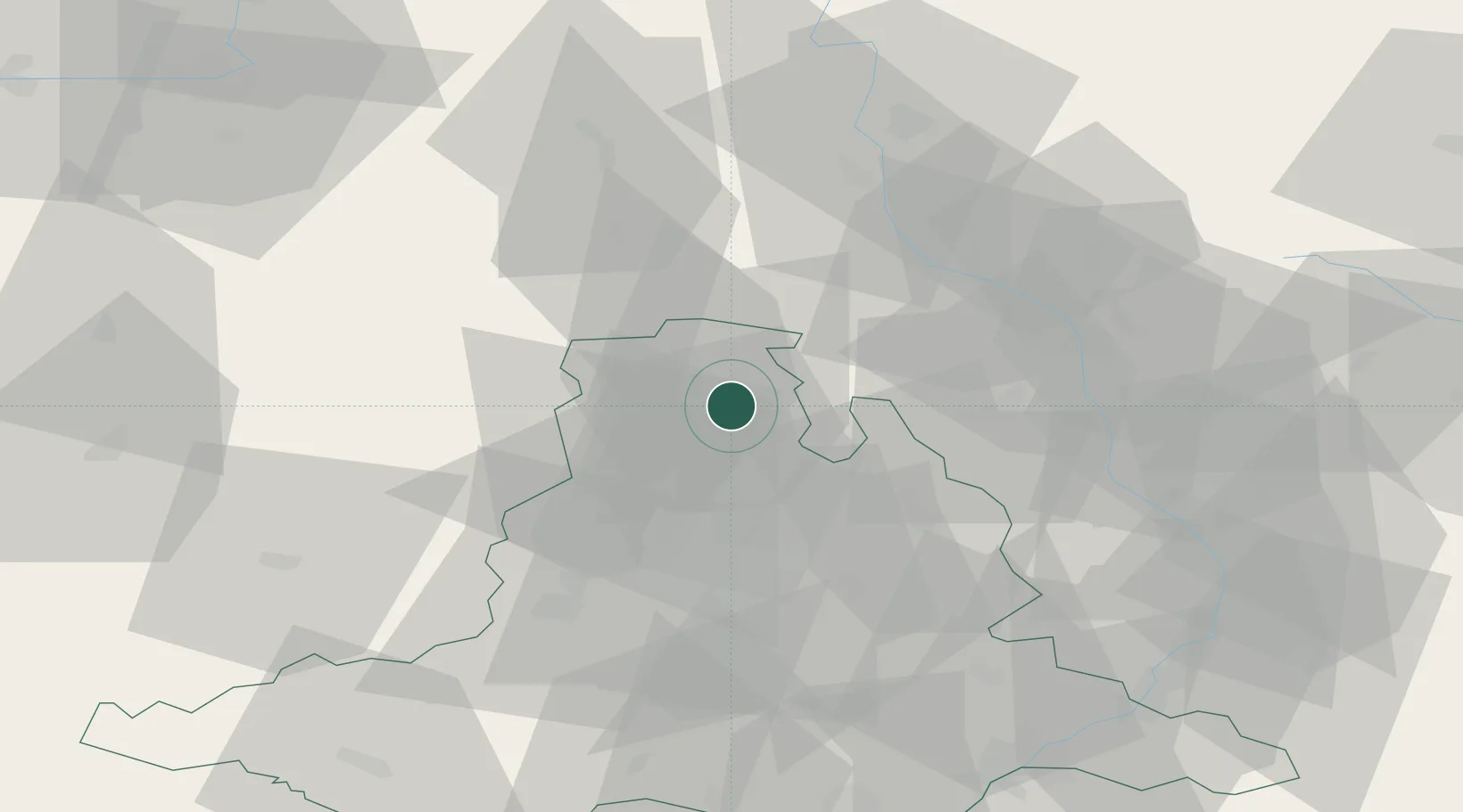
Hub Profile
Place type
Populated place
Region
South Moravian
Population
12,508
Time zone
Europe/Prague
Elevation
386 m
Location
Nearby Logistics Neighbours
Cities
- 1Nemcice6 km
- 2Velké Opatovice13 km
- 3Olesnice Na Morave20 km
- 4Michnov20 km
- 5Chornice21 km
Ports
- 1Szczecin461 km
- 2Monfalcone473 km
- 3Police477 km
- 4Trieste479 km
- 5Muggia484 km
Airports
- 1Brno-Tuřany Airport37 km
- 2Náměšť Air Base53 km
- 3Přerov Air Base54 km
- 4Kunovice Airport76 km
- 5Pardubice Airport89 km
Trade Zones
DatabookThe Record of Consolidated Knowledge
Czechia beyond logistics?