Transport Functions
Rail
Road
Hub Profile
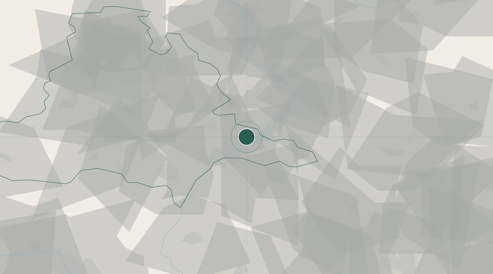
Place type
Populated place
Region
South Moravian
Population
4,315
Time zone
Europe/Prague
Elevation
188 m
Location
Nearby Logistics Neighbours
Cities
- 1Uhersky Ostroh8 km
- 2Nedakonice10 km
- 3Ostrozská Nová Ves12 km
- 4Moravany13 km
- 5Kunovice16 km
Ports
- 1Monfalcone452 km
- 2Trieste455 km
- 3Bakar458 km
- 4Rijeka Luka458 km
- 5Muggia459 km
Airports
- 1Kunovice Airport13 km
- 2Brno-Tuřany Airport48 km
- 3Přerov Air Base52 km
- 4Piešťany Airport55 km
- 5Malacky/Kuchyňa Air Base64 km
Trade Zones
DatabookThe Record of Consolidated Knowledge
Czechia beyond logistics?