UN/LOCODE hub · Germany
DEGCS

Grosschönau

50.9000°, 14.6833°
2
Transport functions

Transport Functions

Road
Multimodal
UN/LOCODE

Hub Profile

Region
SN
GeoNames

Location

Location of DEGCS
Natural Earth 10m (public domain) · SN · DEGCS · 50.90, 14.68GoogleOSMYandex

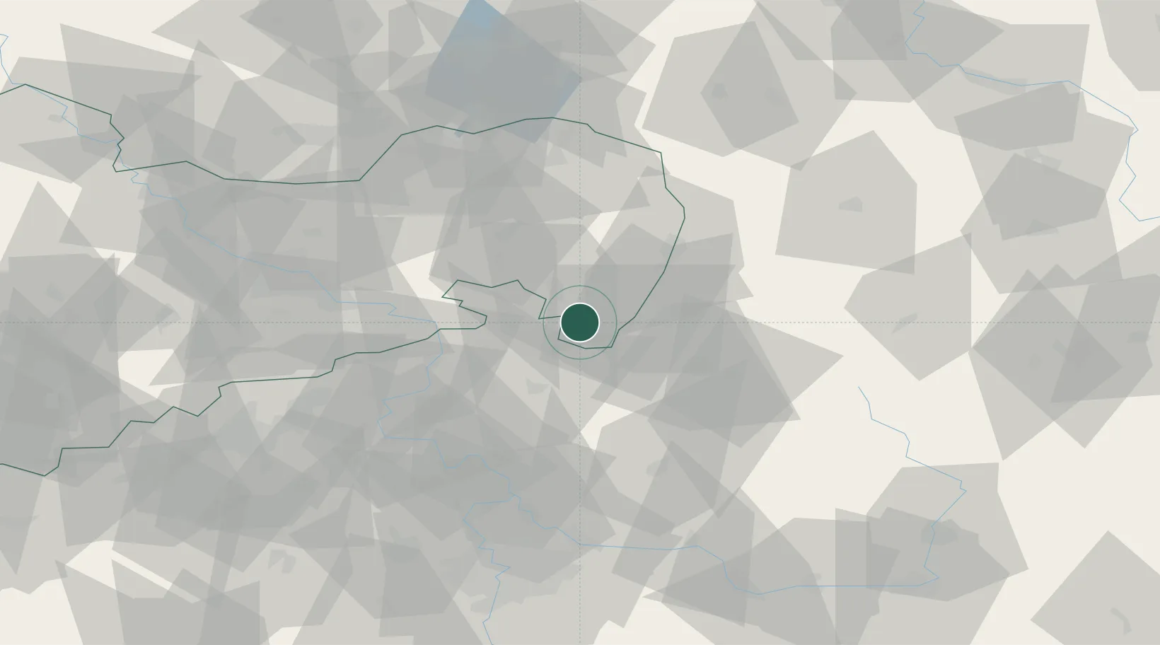
Nearby Logistics Neighbours

Cities
  1. 1Hainewalde2 km
  2. 2Spitzkunnersdorf4 km
  3. 3Mittelherwigsdorf6 km
  4. 4Olbersdorf6 km
  5. 5Seifhennersdorf7 km
Nearest neighbours — logibook spatial index (haversine) over the source coordinates
Ports
  1. 1Szczecin280 km
  2. 2Police297 km
  3. 3Swinoujscie337 km
  4. 4Wolgast356 km
  5. 5Kolobrzeg373 km
Nearest neighbours — logibook spatial index (haversine) over the source coordinates
Airports
  1. 1Rothenburg/Görlitz Airfield55 km
  2. 2Dresden Airport69 km
  3. 3Vodochody Airport79 km
  4. 4Kostomlaty Airstrip79 km
  5. 5Prague–Kbely Air Base87 km
Nearest neighbours — logibook spatial index (haversine) over the source coordinates
Trade Zones
  1. 1Most - Joseph Industrial Zone87 km
  2. 2Kamienna Góra95 km
  3. 3Legnica SEZ (Legnicka SSE)97 km
  4. 4Žatec - Triangle Strategic Industrial Zone99 km
  5. 5Kolín - Ovčáry Industrial Zone100 km
Nearest neighbours — logibook spatial index (haversine) over the source coordinates
DatabookThe Record of Consolidated Knowledge
Germany beyond logistics?
Browse databook

All Sources

LocationsUN/LOCODE
UN/LOCODE — free
Portsthe NGA World Port Index
Public domain (US gov)
AirportsOurAirports
Public domain
Trade Zonesthe World Bank SEZ database
CC BY 4.0
Trade ZonesOpen Zone Map
CC BY
← Germany locations