Transport Functions
Rail
Road
Hub Profile
Place type
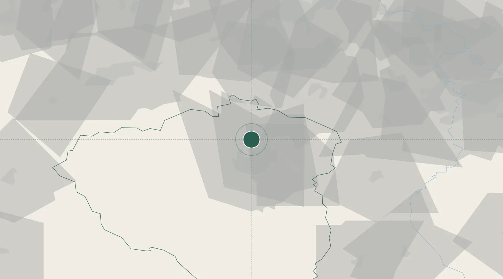
Populated place
Region
Plzeň Region
Population
3,053
Time zone
Europe/Prague
Elevation
402 m
Location
Nearby Logistics Neighbours
Cities
- 1Horní Bríza6 km
- 2Kralovice13 km
- 3Nova Hospoda17 km
- 4Ejpovice18 km
- 5Vejprnice18 km
Ports
- 1Szczecin401 km
- 2Police418 km
- 3Swinoujscie453 km
- 4Monfalcone456 km
- 5Nogaro459 km
Airports
- 1Plzeň-Líně Airport24 km
- 2Karlovy Vary Airport49 km
- 3Václav Havel Airport Prague67 km
- 4Vodochody Airport81 km
- 5Prague–Kbely Air Base87 km
Trade Zones
DatabookThe Record of Consolidated Knowledge
Czechia beyond logistics?