Transport Functions
Port
Rail
Road
Hub Profile
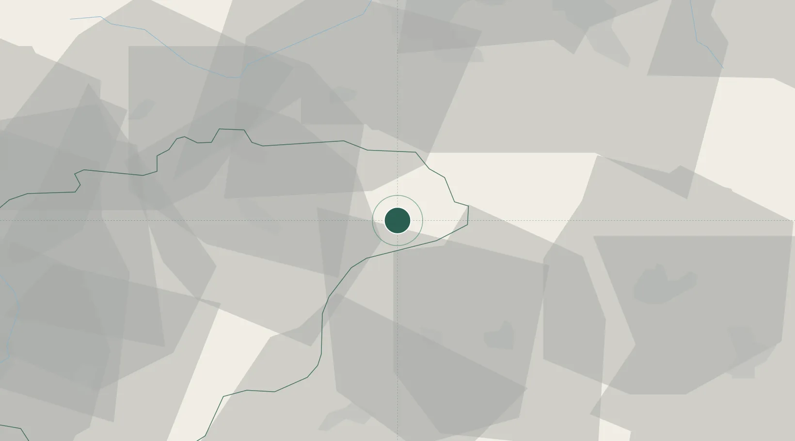
Place type
Populated place
Region
Zlín
Population
2,916
Time zone
Europe/Prague
Elevation
479 m
Location
Nearby Logistics Neighbours
Cities
- 1Halenkov8 km
- 2Roznov pod Radhostem13 km
- 3Vsetín18 km
- 4Horovce22 km
- 5Ostravice23 km
Ports
- 1Szczecin520 km
- 2Bakar530 km
- 3Monfalcone531 km
- 4Rijeka Luka531 km
- 5Trieste532 km
Airports
- 1Žilina-Dolný Hričov Airport29 km
- 2Leoš Janáček Airport Ostrava40 km
- 3Přerov Air Base62 km
- 4Kunovice Airport69 km
- 5Piešťany Airport86 km
Trade Zones
DatabookThe Record of Consolidated Knowledge
Czechia beyond logistics?