UN/LOCODE hub · Czechia
CZRVR

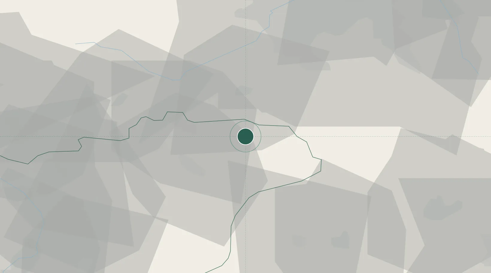
Roznov pod Radhostem

49.4500°, 18.1500°
17,238
Population
1
Transport functions

Transport Functions

Multimodal
UN/LOCODE

Hub Profile

Place type
Populated place
GeoNames
Region
Zlín
GeoNames
Population
17,238
GeoNames
Time zone
Europe/Prague
GeoNames
Elevation
378 m
GeoNames

Location

Location of CZRVR
Natural Earth 10m (public domain) · Zlín · CZRVR · 49.45, 18.15GoogleOSMYandex

Nearby Logistics Neighbours

Cities
  1. 1Karolinka13 km
  2. 2Valasské Mezirící13 km
  3. 3Halenkov15 km
  4. 4Vsetín17 km
  5. 5Koprivnice18 km
Nearest neighbours — logibook spatial index (haversine) over the source coordinates
Ports
  1. 1Szczecin507 km
  2. 2Police521 km
  3. 3Monfalcone534 km
  4. 4Bakar536 km
  5. 5Trieste536 km
Nearest neighbours — logibook spatial index (haversine) over the source coordinates
Airports
  1. 1Leoš Janáček Airport Ostrava28 km
  2. 2Žilina-Dolný Hričov Airport41 km
  3. 3Přerov Air Base54 km
  4. 4Kunovice Airport70 km
  5. 5Piešťany Airport95 km
Nearest neighbours — logibook spatial index (haversine) over the source coordinates
Trade Zones
  1. 1Mošnov Development Area27 km
  2. 2Holešov Industrial Zone46 km
  3. 3Karvinská Specialized Economic Zone53 km
  4. 4Krnov - Červený Dvůr Municipal Industrial Zone75 km
  5. 5Veselí nad Moravou Industrial Zone79 km
Nearest neighbours — logibook spatial index (haversine) over the source coordinates
DatabookThe Record of Consolidated Knowledge
Czechia beyond logistics?
Browse databook

All Sources

LocationsUN/LOCODE
UN/LOCODE — free
LocationsGeoNames
CC BY 4.0
Portsthe NGA World Port Index
Public domain (US gov)
AirportsOurAirports
Public domain
Trade Zonesthe World Bank SEZ database
CC BY 4.0
Trade ZonesOpen Zone Map
CC BY
← Czechia locations