Transport Functions
Multimodal
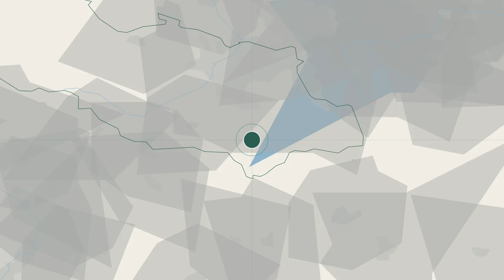
Hub Profile
Place type
Populated place
Region
Moravskoslezský
Population
2,324
Time zone
Europe/Prague
Elevation
436 m
Location
Nearby Logistics Neighbours
Cities
- 1Frydlant nad Ostravici6 km
- 2Frydek-Místek17 km
- 3Staríc19 km
- 4Sviadnov19 km
- 5Koprivnice19 km
Ports
- 1Szczecin507 km
- 2Police520 km
- 3Gdansk536 km
- 4Nowy Port543 km
- 5Monfalcone552 km
Airports
- 1Leoš Janáček Airport Ostrava27 km
- 2Žilina-Dolný Hričov Airport37 km
- 3Přerov Air Base72 km
- 4Kunovice Airport89 km
- 5Piešťany Airport109 km
Trade Zones
DatabookThe Record of Consolidated Knowledge
Czechia beyond logistics?