Transport Functions
Rail
Road
Hub Profile
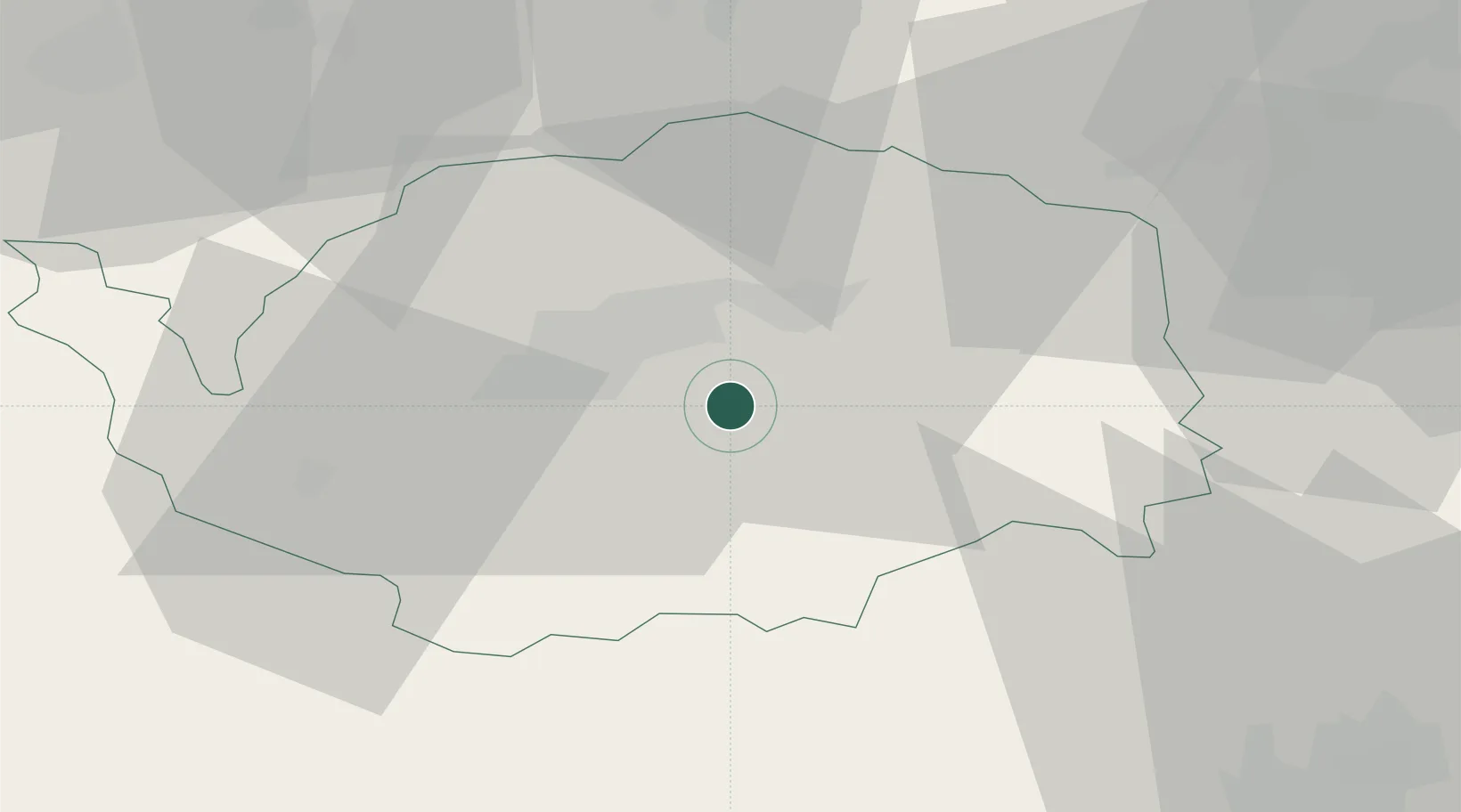
Place type
Populated place
Region
Karlovarský kraj
Population
5,818
Time zone
Europe/Prague
Elevation
567 m
Location
Nearby Logistics Neighbours
Cities
- 1Mirova7 km
- 2Stará Role9 km
- 3Kyselka9 km
- 4Dolní Rychnov12 km
- 5Nová Role13 km
Ports
- 1Szczecin383 km
- 2Police399 km
- 3Hamburg426 km
- 4Wismar427 km
- 5Swinoujscie431 km
Airports
- 1Karlovy Vary Airport10 km
- 2Plzeň-Líně Airport63 km
- 3Hof-Plauen Airport69 km
- 4Grafenwöhr Army Air Field79 km
- 5Bayreuth Airport85 km
Trade Zones
DatabookThe Record of Consolidated Knowledge
Czechia beyond logistics?