Transport Functions
Road
Multimodal
Hub Profile
Place type
Populated place
Region
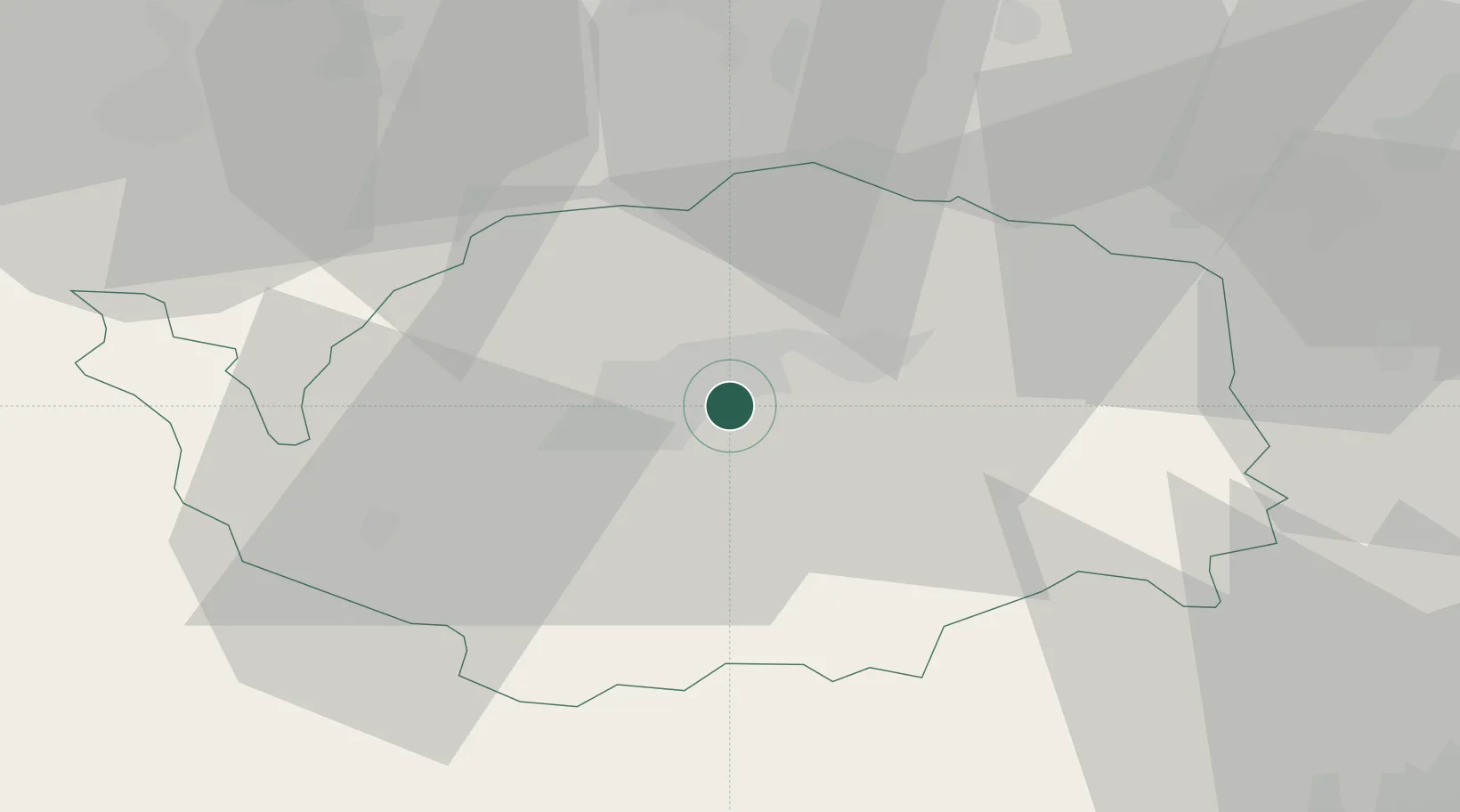
Karlovarský kraj
Population
355
Time zone
Europe/Prague
Elevation
411 m
Location
Nearby Logistics Neighbours
Cities
- 1Stará Role7 km
- 2Horní Slavkov7 km
- 3Nová Role8 km
- 4Dolní Rychnov9 km
- 5Dalovice13 km
Airports
- 1Karlovy Vary Airport13 km
- 2Hof-Plauen Airport63 km
- 3Plzeň-Líně Airport70 km
- 4Grafenwöhr Army Air Field80 km
- 5Bayreuth Airport82 km
Trade Zones
DatabookThe Record of Consolidated Knowledge
Czechia beyond logistics?