Transport Functions
Rail
Road
Hub Profile
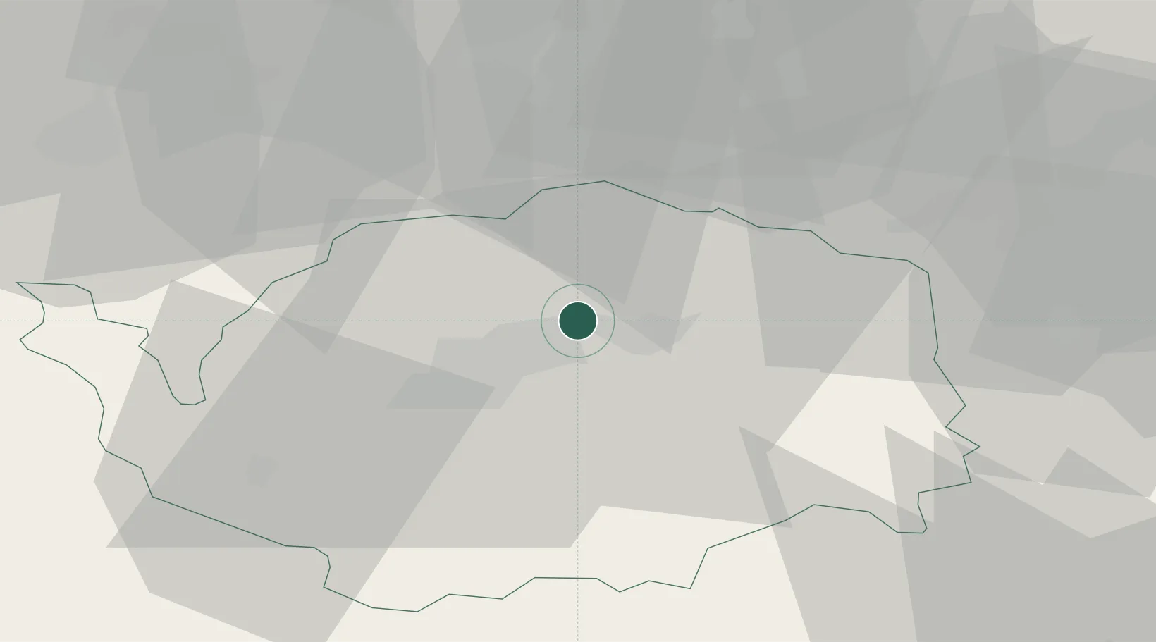
Place type
Populated place
Region
Karlovarský kraj
Population
4,047
Time zone
Europe/Prague
Elevation
439 m
Location
Nearby Logistics Neighbours
Cities
- 1Stará Role4 km
- 2Hroznetin7 km
- 3Merklin u Karlovych Var7 km
- 4Mirova8 km
- 5Dalovice9 km
Ports
- 1Szczecin371 km
- 2Police387 km
- 3Wismar414 km
- 4Hamburg414 km
- 5Swinoujscie418 km
Airports
- 1Karlovy Vary Airport12 km
- 2Hof-Plauen Airport66 km
- 3Plzeň-Líně Airport75 km
- 4Leipzig–Altenburg Airport82 km
- 5Grafenwöhr Army Air Field87 km
Trade Zones
DatabookThe Record of Consolidated Knowledge
Czechia beyond logistics?