Transport Functions
Port
Rail
Road
Hub Profile
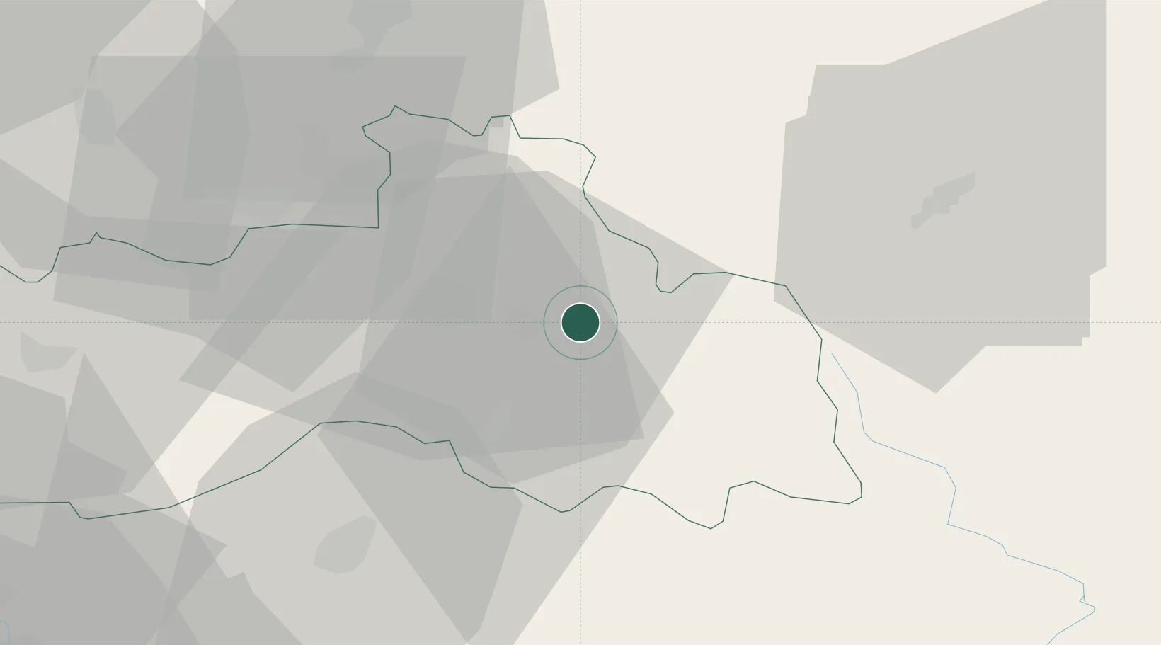
Place type
Populated place
Region
Liberecký kraj
Population
3,433
Time zone
Europe/Prague
Elevation
583 m
Location
Nearby Logistics Neighbours
Cities
- 1Tanvald4 km
- 2Drzkov7 km
- 3Hodkovice nad Mohelkou15 km
- 4Chuchelna15 km
- 5Odolenovice15 km
Ports
- 1Szczecin302 km
- 2Police319 km
- 3Swinoujscie360 km
- 4Wolgast382 km
- 5Kolobrzeg388 km
Airports
- 1Kostomlaty Airstrip63 km
- 2Rothenburg/Görlitz Airfield73 km
- 3Vodochody Airport83 km
- 4Prague–Kbely Air Base85 km
- 5Pardubice Airport87 km
Trade Zones
DatabookThe Record of Consolidated Knowledge
Czechia beyond logistics?