UN/LOCODE hub · Czechia
CZHDR

Hrádek u Rokycan

49.7333°, 13.5833°
1
Transport functions

Transport Functions

Multimodal
UN/LOCODE

Hub Profile

Region
PL
GeoNames

Location

Location of CZHDR
Natural Earth 10m (public domain) · PL · CZHDR · 49.73, 13.58GoogleOSMYandex

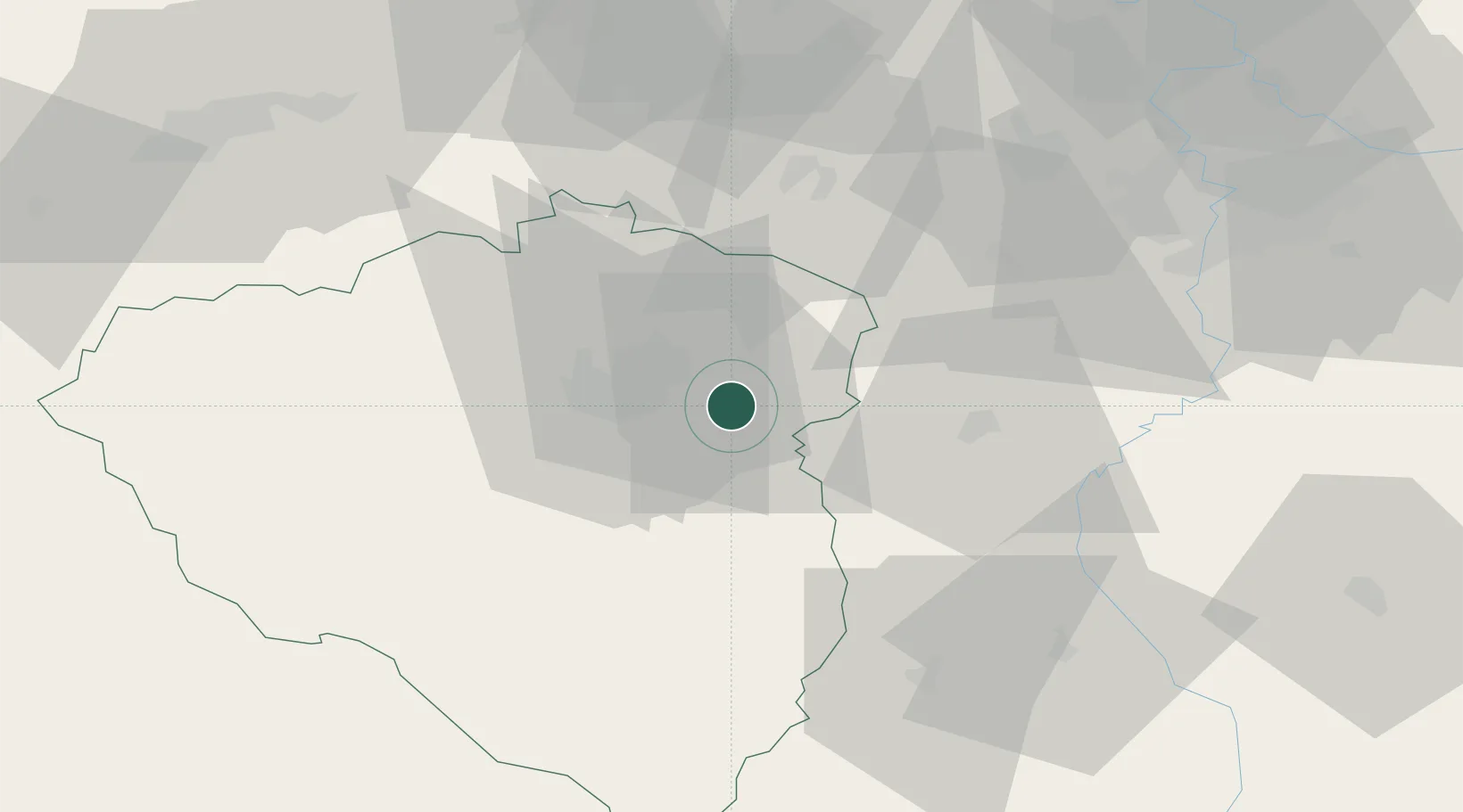
Nearby Logistics Neighbours

Cities
  1. 1Ejpovice5 km
  2. 2Hradek5 km
  3. 3Myto13 km
  4. 4Litice17 km
  5. 5Nova Hospoda19 km
Nearest neighbours — logibook spatial index (haversine) over the source coordinates
Ports
  1. 1Szczecin415 km
  2. 2Police432 km
  3. 3Monfalcone439 km
  4. 4Nogaro443 km
  5. 5Grado449 km
Nearest neighbours — logibook spatial index (haversine) over the source coordinates
Airports
  1. 1Plzeň-Líně Airport23 km
  2. 2Václav Havel Airport Prague63 km
  3. 3Karlovy Vary Airport71 km
  4. 4Vodochody Airport79 km
  5. 5Prague–Kbely Air Base81 km
Nearest neighbours — logibook spatial index (haversine) over the source coordinates
Trade Zones
  1. 1Podbořany Industrial Zone57 km
  2. 2Žatec - Triangle Strategic Industrial Zone74 km
  3. 3Most - Joseph Industrial Zone84 km
  4. 4Freeport of Deggendorf110 km
  5. 5Kolín - Ovčáry Industrial Zone123 km
Nearest neighbours — logibook spatial index (haversine) over the source coordinates
DatabookThe Record of Consolidated Knowledge
Czechia beyond logistics?
Browse databook

All Sources

LocationsUN/LOCODE
UN/LOCODE — free
Portsthe NGA World Port Index
Public domain (US gov)
AirportsOurAirports
Public domain
Trade Zonesthe World Bank SEZ database
CC BY 4.0
Trade ZonesOpen Zone Map
CC BY
← Czechia locations