Transport Functions
Port
Multimodal
Hub Profile
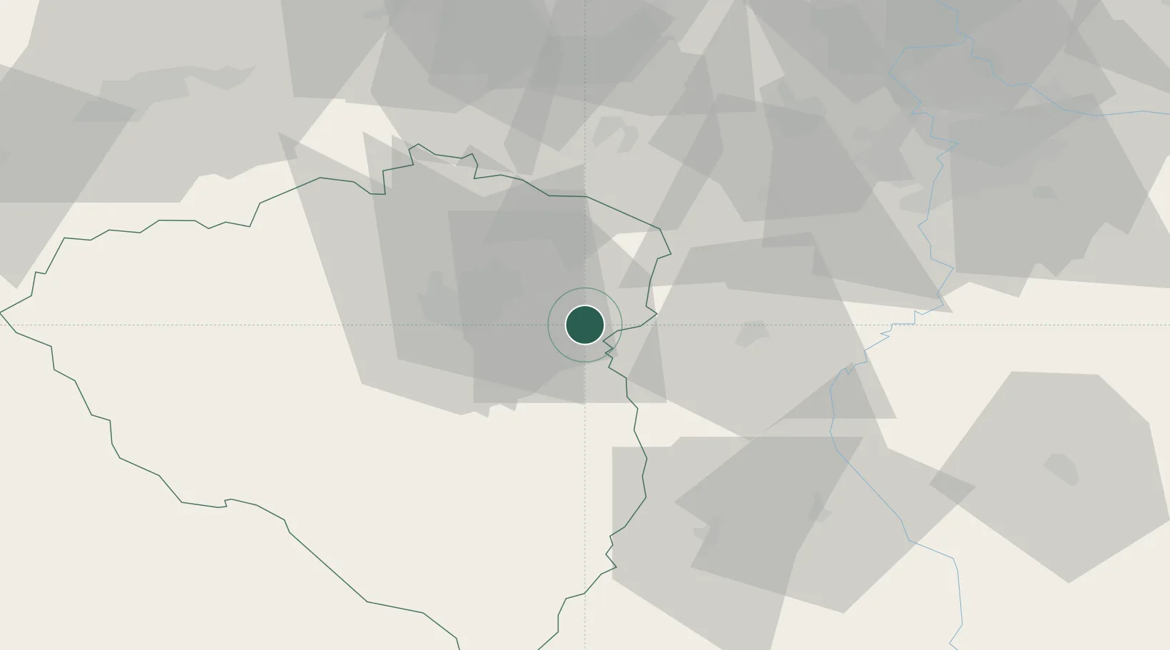
Place type
Populated place
Region
Plzeň Region
Population
2,897
Time zone
Europe/Prague
Elevation
409 m
Location
Nearby Logistics Neighbours
Cities
- 1Hrádek u Rokycan5 km
- 2Ejpovice10 km
- 3Myto11 km
- 4Komárov17 km
- 5Cerhovice20 km
Ports
- 1Szczecin416 km
- 2Police433 km
- 3Monfalcone437 km
- 4Nogaro442 km
- 5Grado448 km
Airports
- 1Plzeň-Líně Airport27 km
- 2Václav Havel Airport Prague61 km
- 3Karlovy Vary Airport75 km
- 4Vodochody Airport77 km
- 5Prague–Kbely Air Base78 km
Trade Zones
DatabookThe Record of Consolidated Knowledge
Czechia beyond logistics?