Transport Functions
Rail
Road
Hub Profile
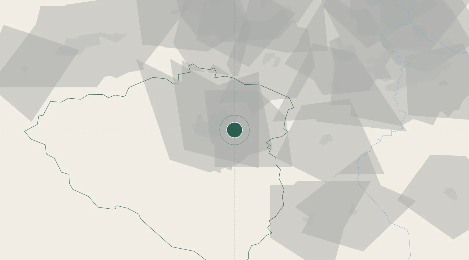
Place type
Populated place
Region
Plzeň Region
Population
540
Time zone
Europe/Prague
Elevation
360 m
Location
Nearby Logistics Neighbours
Cities
- 1Hrádek u Rokycan5 km
- 2Hradek10 km
- 3Litice13 km
- 4Nova Hospoda15 km
- 5Horní Bríza15 km
Ports
- 1Szczecin414 km
- 2Police431 km
- 3Monfalcone441 km
- 4Nogaro445 km
- 5Grado451 km
Airports
- 1Plzeň-Líně Airport19 km
- 2Václav Havel Airport Prague66 km
- 3Karlovy Vary Airport66 km
- 4Vodochody Airport82 km
- 5Prague–Kbely Air Base84 km
Trade Zones
DatabookThe Record of Consolidated Knowledge
Czechia beyond logistics?