Transport Functions
Multimodal
Hub Profile
Place type
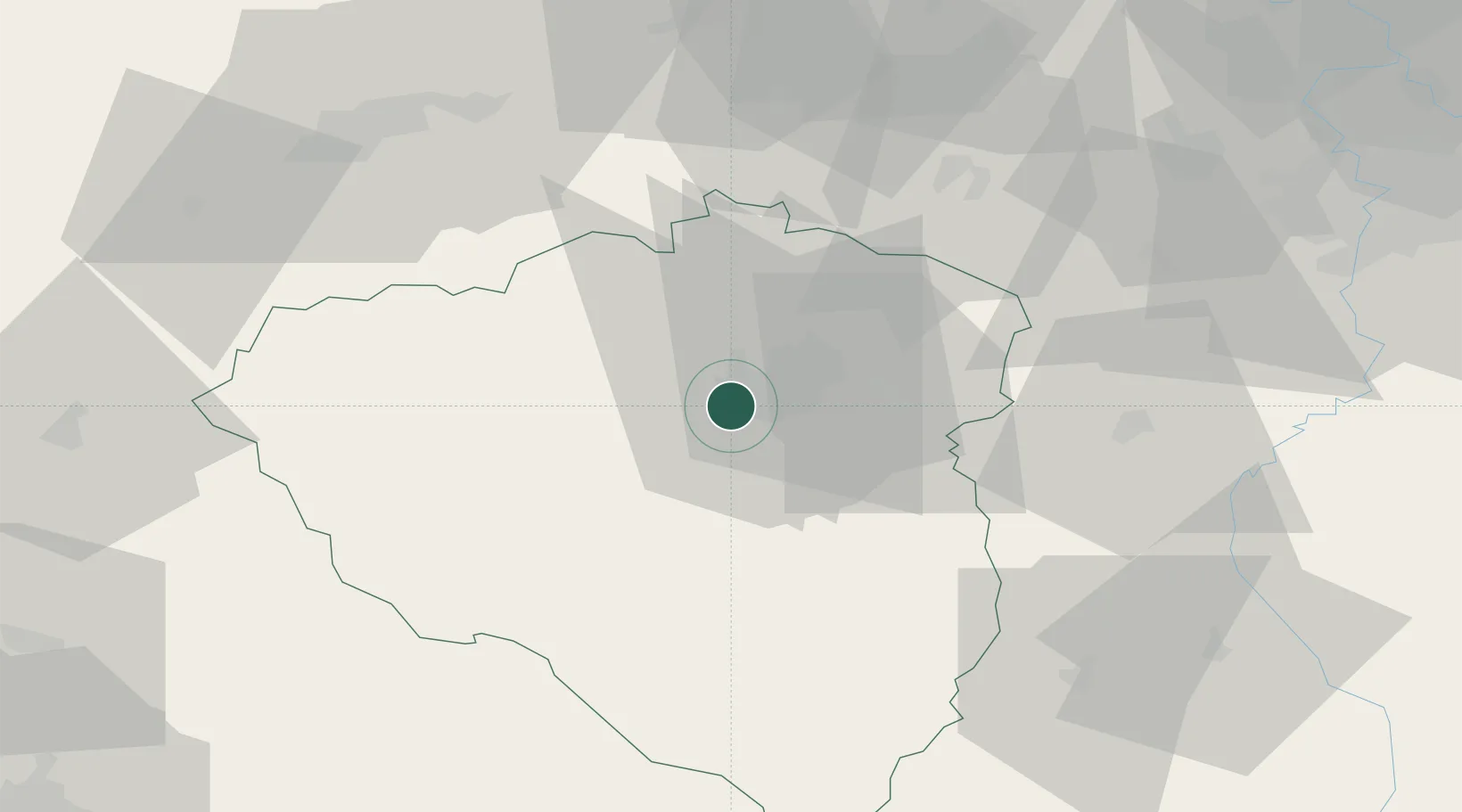
Populated place
Region
Plzeň Region
Time zone
Europe/Prague
Elevation
359 m
Location
Nearby Logistics Neighbours
Ports
- 1Szczecin418 km
- 2Police435 km
- 3Monfalcone440 km
- 4Nogaro442 km
- 5Grado449 km
Airports
- 1Plzeň-Líně Airport7 km
- 2Karlovy Vary Airport60 km
- 3Václav Havel Airport Prague79 km
- 4Vodochody Airport94 km
- 5Prague–Kbely Air Base98 km
Trade Zones
DatabookThe Record of Consolidated Knowledge
Czechia beyond logistics?