UN/LOCODE hub · Czechia
CZMYO

Myto

49.8000°, 13.7333°
1,384
Population
2
Transport functions

Transport Functions

Road
Multimodal
UN/LOCODE

Hub Profile

Place type
Populated place
GeoNames
Region
Plzeň Region
GeoNames
Population
1,384
GeoNames
Time zone
Europe/Prague
GeoNames
Elevation
448 m
GeoNames

Location

Location of CZMYO
Natural Earth 10m (public domain) · Plzeň Region · CZMYO · 49.80, 13.73GoogleOSMYandex

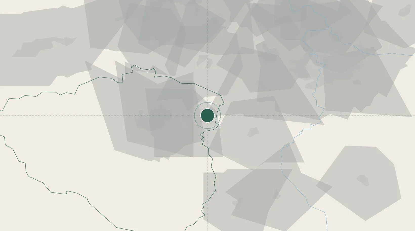
Nearby Logistics Neighbours

Cities
  1. 1Komárov8 km
  2. 2Cerhovice9 km
  3. 3Hradek11 km
  4. 4Hrádek u Rokycan13 km
  5. 5Horovice13 km
Nearest neighbours — logibook spatial index (haversine) over the source coordinates
Ports
  1. 1Szczecin406 km
  2. 2Police423 km
  3. 3Monfalcone447 km
  4. 4Nogaro451 km
  5. 5Grado457 km
Nearest neighbours — logibook spatial index (haversine) over the source coordinates
Airports
  1. 1Plzeň-Líně Airport36 km
  2. 2Václav Havel Airport Prague50 km
  3. 3Vodochody Airport66 km
  4. 4Prague–Kbely Air Base68 km
  5. 5Karlovy Vary Airport74 km
Nearest neighbours — logibook spatial index (haversine) over the source coordinates
Trade Zones
  1. 1Podbořany Industrial Zone53 km
  2. 2Žatec - Triangle Strategic Industrial Zone68 km
  3. 3Most - Joseph Industrial Zone76 km
  4. 4Kolín - Ovčáry Industrial Zone111 km
  5. 5Industrial Zone Kutna Hora112 km
Nearest neighbours — logibook spatial index (haversine) over the source coordinates
DatabookThe Record of Consolidated Knowledge
Czechia beyond logistics?
Browse databook

All Sources

LocationsUN/LOCODE
UN/LOCODE — free
LocationsGeoNames
CC BY 4.0
Portsthe NGA World Port Index
Public domain (US gov)
AirportsOurAirports
Public domain
Trade Zonesthe World Bank SEZ database
CC BY 4.0
Trade ZonesOpen Zone Map
CC BY
← Czechia locations