UN/LOCODE hub · Germany
DEYSF
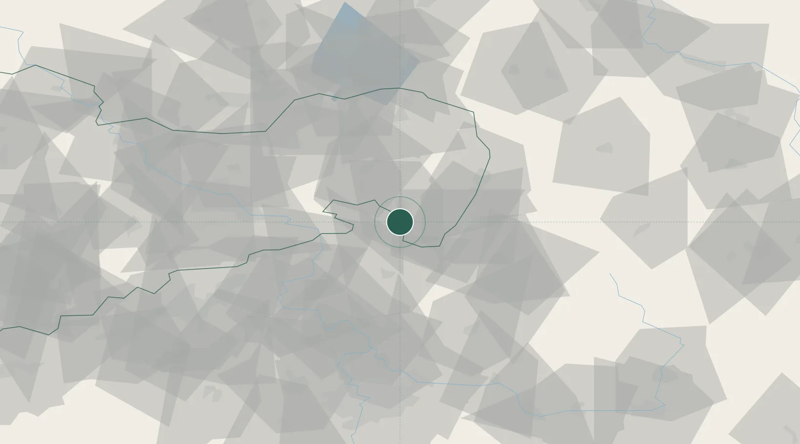
Seifhennersdorf
50.9333°, 14.6000°
4,878
Population
3
Transport functions
Transport Functions
Port
Rail
Road
Hub Profile
Place type
Populated place
Region
Saxony
Population
4,878
Time zone
Europe/Berlin
Elevation
354 m
Location
Nearby Logistics Neighbours
Cities
- 1Rumburk3 km
- 2Spitzkunnersdorf6 km
- 3Grosschönau7 km
- 4Hainewalde7 km
- 5Eibau7 km
Ports
- 1Szczecin276 km
- 2Police293 km
- 3Swinoujscie333 km
- 4Wolgast351 km
- 5Kolobrzeg371 km
Airports
- 1Rothenburg/Görlitz Airfield54 km
- 2Dresden Airport62 km
- 3Vodochody Airport81 km
- 4Kostomlaty Airstrip84 km
- 5Prague–Kbely Air Base90 km
Trade Zones
DatabookThe Record of Consolidated Knowledge
Germany beyond logistics?