Transport Functions
Multimodal
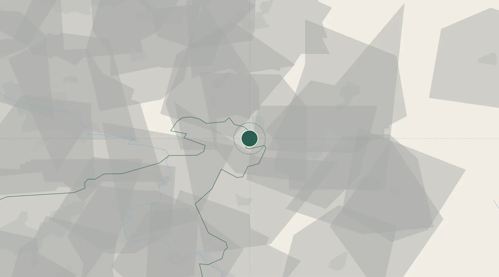
Hub Profile
Place type
Populated place
Region
Ústecký kraj
Population
10,815
Time zone
Europe/Prague
Elevation
387 m
Location
Nearby Logistics Neighbours
Cities
- 1Seifhennersdorf3 km
- 2Eibau8 km
- 3Spitzkunnersdorf8 km
- 4Grosschönau10 km
- 5Hainewalde10 km
Ports
- 1Szczecin274 km
- 2Police291 km
- 3Swinoujscie331 km
- 4Wolgast349 km
- 5Kolobrzeg369 km
Airports
- 1Rothenburg/Görlitz Airfield53 km
- 2Dresden Airport60 km
- 3Vodochody Airport82 km
- 4Kostomlaty Airstrip86 km
- 5Prague–Kbely Air Base92 km
Trade Zones
DatabookThe Record of Consolidated Knowledge
Czechia beyond logistics?