Transport Functions
Multimodal
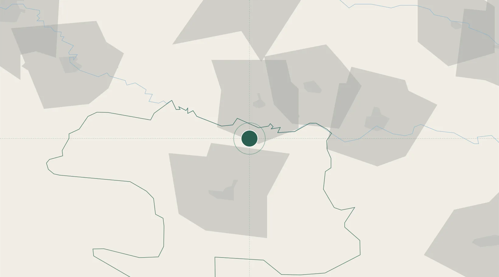
Hub Profile
Place type
Populated place
Region
Zlín
Population
2,487
Time zone
Europe/Prague
Elevation
250 m
Location
Nearby Logistics Neighbours
Cities
- 1Nova Gradiska19 km
- 2Vinosady24 km
- 3Oriovac34 km
- 4Brodski Stupnik38 km
- 5Pozega39 km
Airports
Trade Zones
- 1Duro Daković Free Zone54 km
- 2Osijek Free Zone92 km
- 3Free Zone Holc, Lukavac111 km
- 4Podunavska Gospodarska Zona Vukovar134 km
- 5Free Zone Visoko137 km
DatabookThe Record of Consolidated Knowledge
Czechia beyond logistics?