UN/LOCODE hub · Cyprus
CYLMS
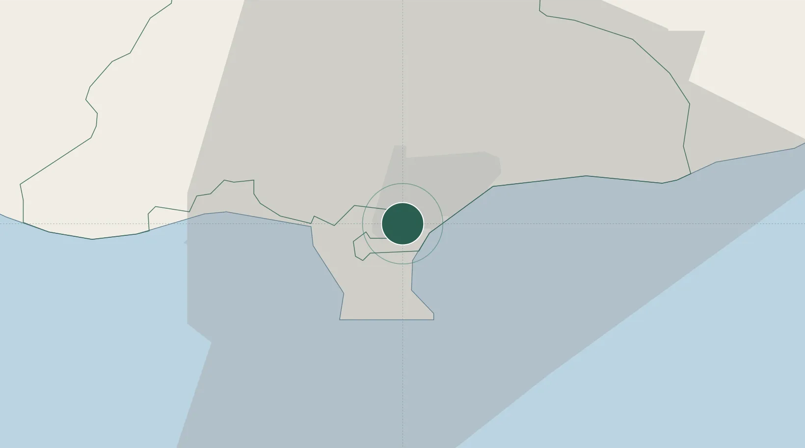
Limassol
34.6598°, 33.0006°
154,000
Population
3
Transport functions
2
Container terminals
Transport Functions
Port
Road
Postal
Hub Profile
Place type
Regional capital
Region
Limassol
Population
154,000
Time zone
Asia/Nicosia
Elevation
27 m
Logistics facilities
5
Container terminals
2
Location
Nearby Logistics Neighbours
Airports
Trade Zones
- 1Limassol Free Port2 km
- 2Larnaca Free Zone58 km
- 3Famagusta Free Port and Zone100 km
- 4Port of Beirut Logistics Free Zone246 km
- 5Tripoli Special Economic Zone260 km
DatabookThe Record of Consolidated Knowledge
Cyprus beyond logistics?