Transport Functions
Port
Airport
Hub Profile
Place type
Regional capital
Region
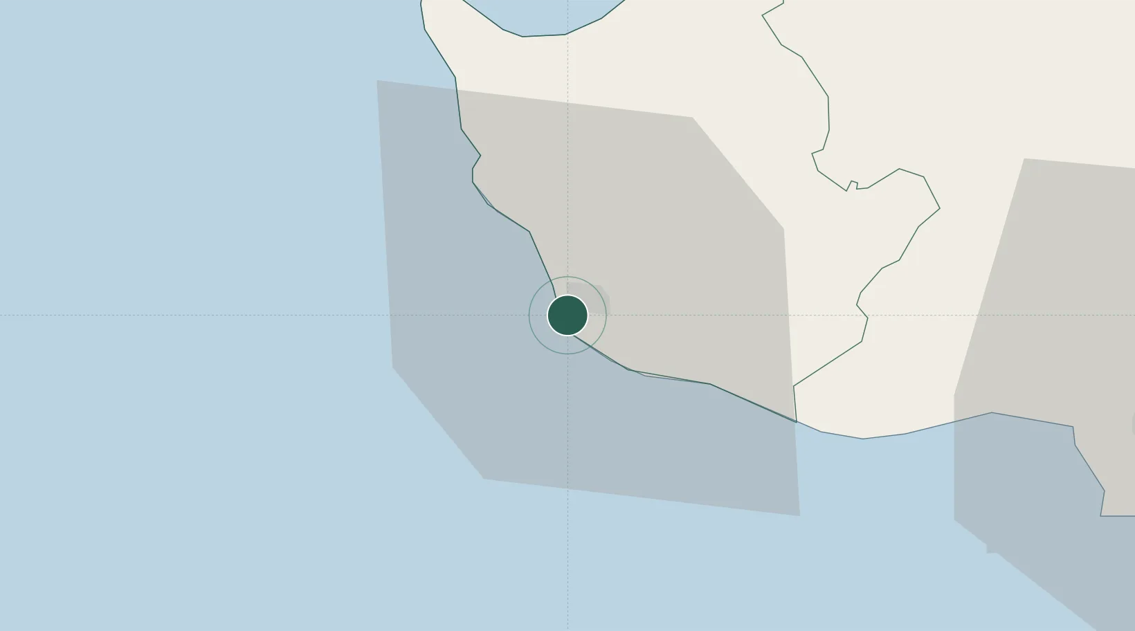
Pafos
Population
35,961
Time zone
Asia/Nicosia
Elevation
81 m
Location
Nearby Logistics Neighbours
Cities
- 1Latchi30 km
- 2Akrotiri52 km
- 3Limassol55 km
- 4Karavostasi56 km
- 5Moni72 km
Airports
Trade Zones
- 1Limassol Free Port56 km
- 2Larnaca Free Zone106 km
- 3Famagusta Free Port and Zone145 km
- 4Antalya Free Zone283 km
- 5Karaman Organized Industrial Zone283 km
DatabookThe Record of Consolidated Knowledge
Cyprus beyond logistics?