Transport Functions
Port
Road
Hub Profile
Place type
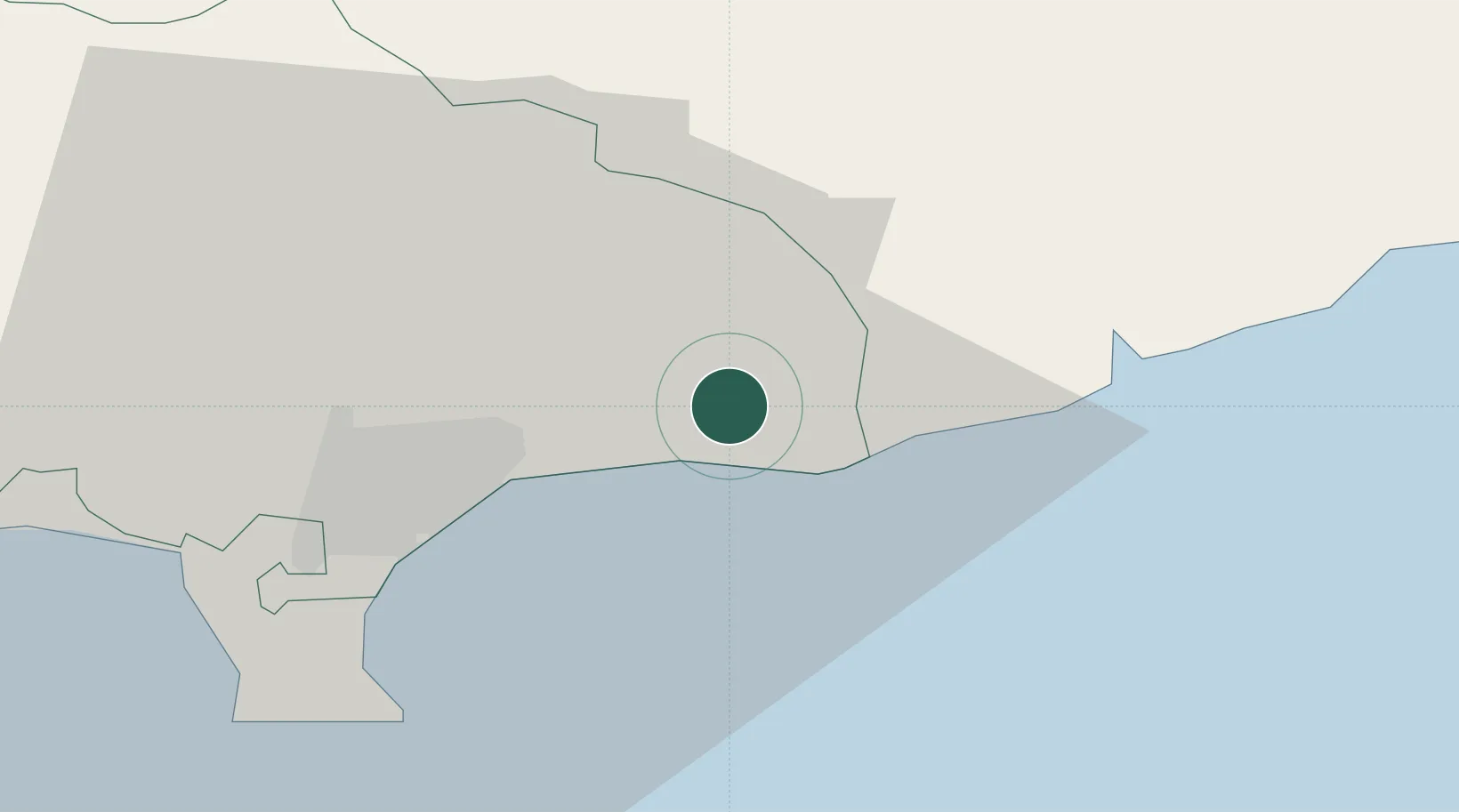
Populated place
Region
Limassol
Population
403
Time zone
Asia/Nicosia
Elevation
44 m
Location
Nearby Logistics Neighbours
Airports
Trade Zones
- 1Limassol Free Port19 km
- 2Larnaca Free Zone38 km
- 3Famagusta Free Port and Zone81 km
- 4Port of Beirut Logistics Free Zone232 km
- 5Tripoli Special Economic Zone243 km
DatabookThe Record of Consolidated Knowledge
Cyprus beyond logistics?